
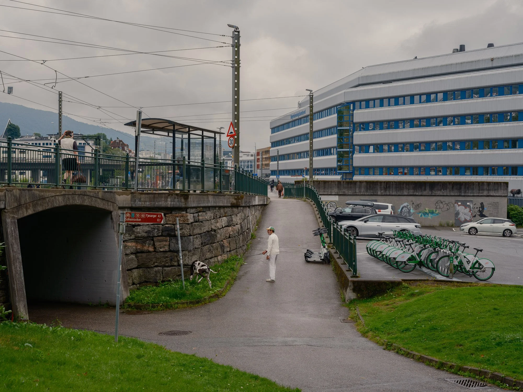
2026-08-05 - Nygårdstangen.
Bergen 16.17
One minute. One random location.
Almost every day, I go to a public place in Bergen, assigned to me in advance. At 16:17, I have one minute to make a photograph.
New photographs added along the way.
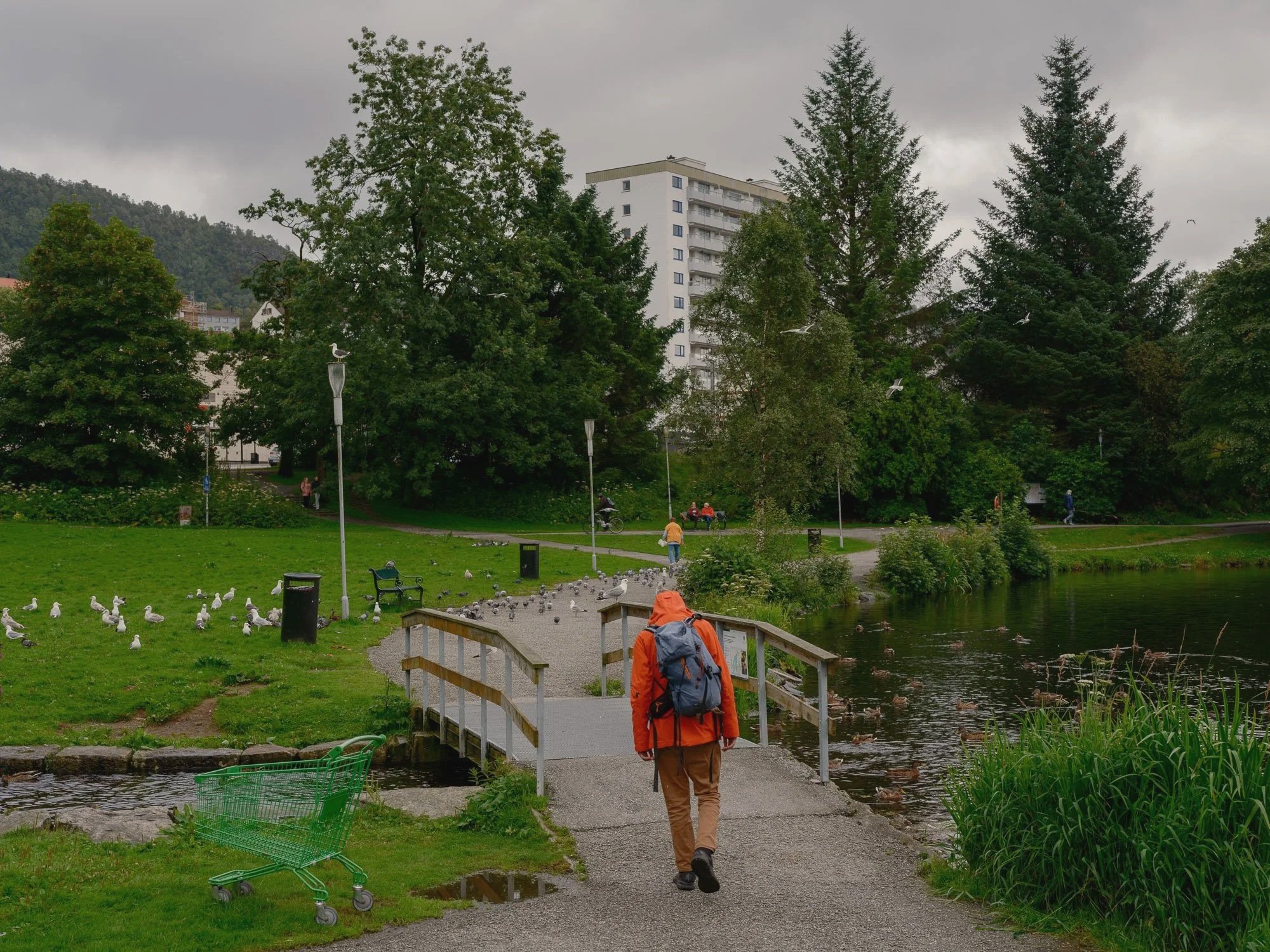
2026-08-06 - Tveitevannet.
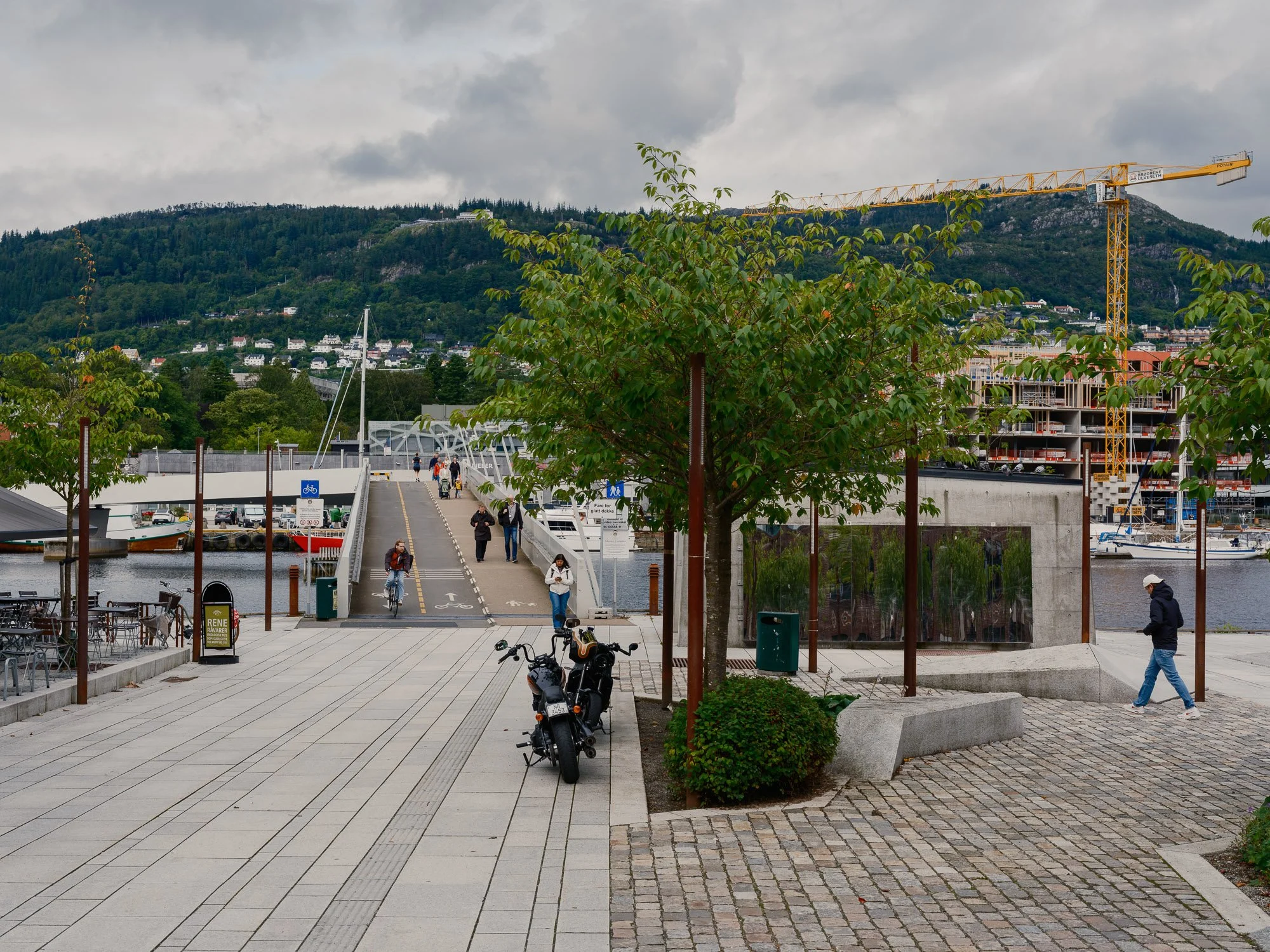
2026-08-07 - Fløttmannsplassen.
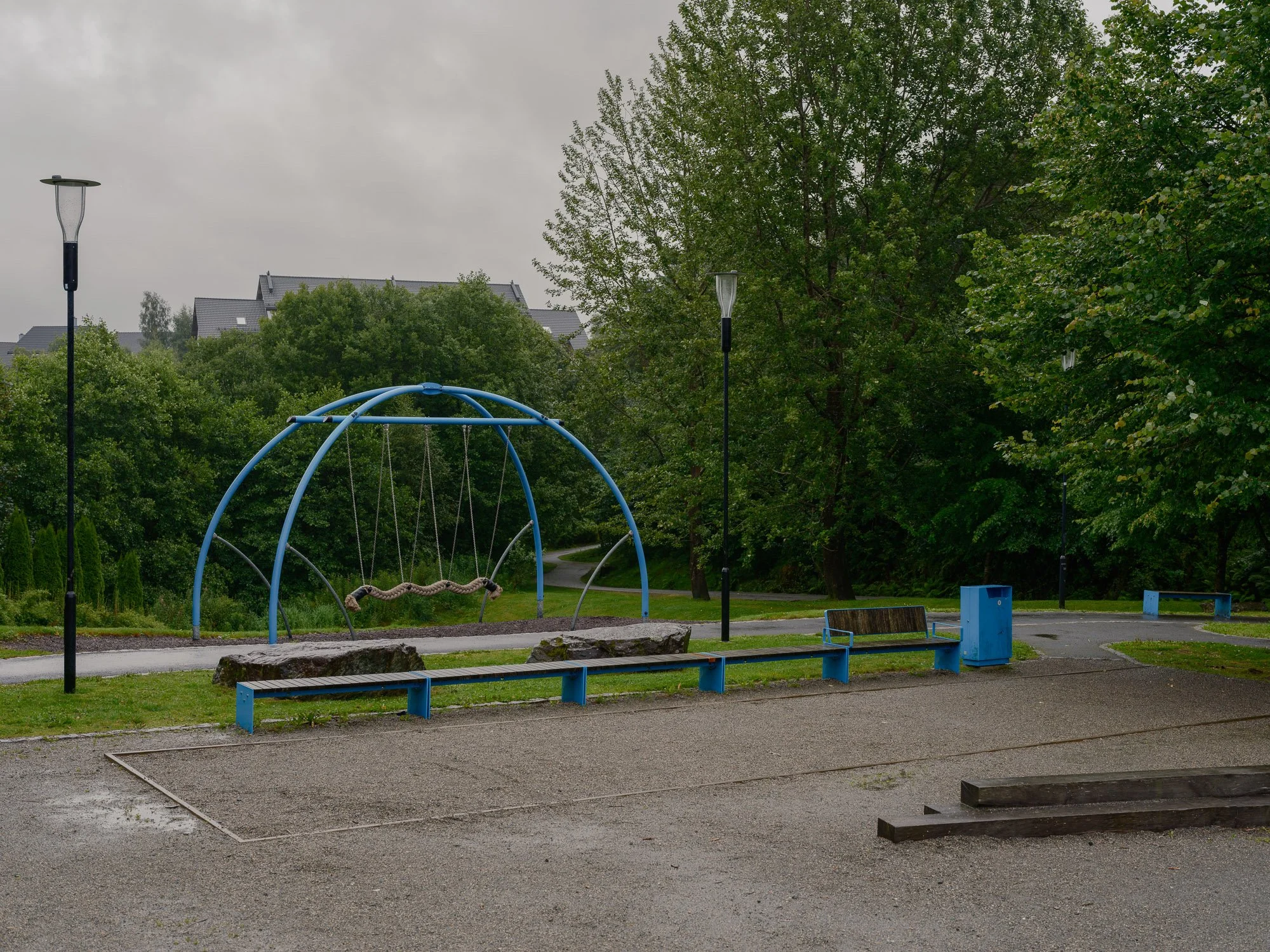
2026-08-08 - Fanatorget playground.
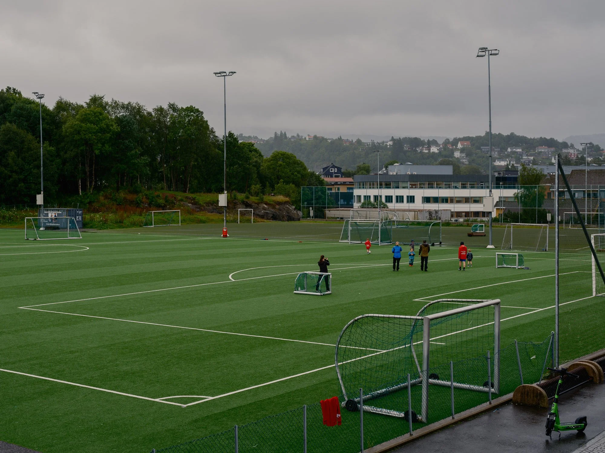
2026-08-09 - Nesttun sports field.
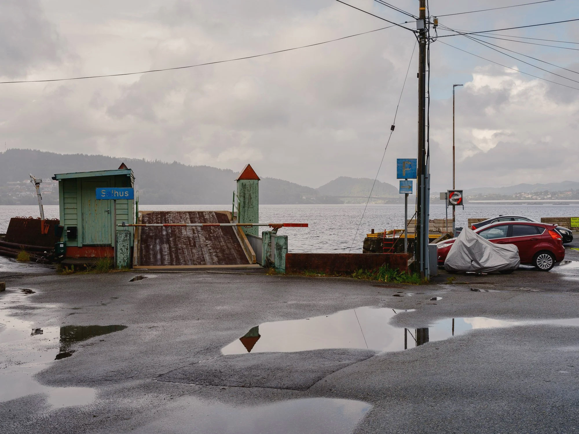
2026-08-10 - Salhus quay.
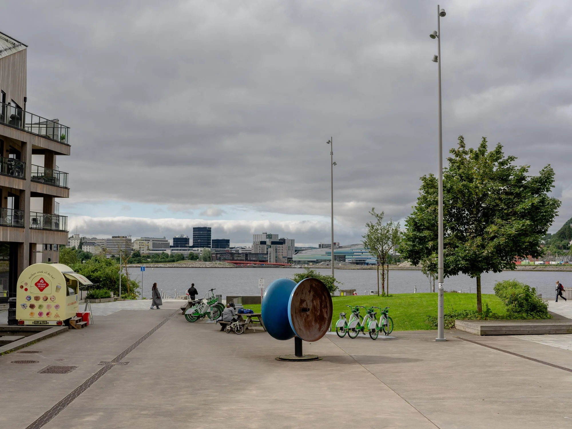
2026-08-11 - Møllendal allmenning.
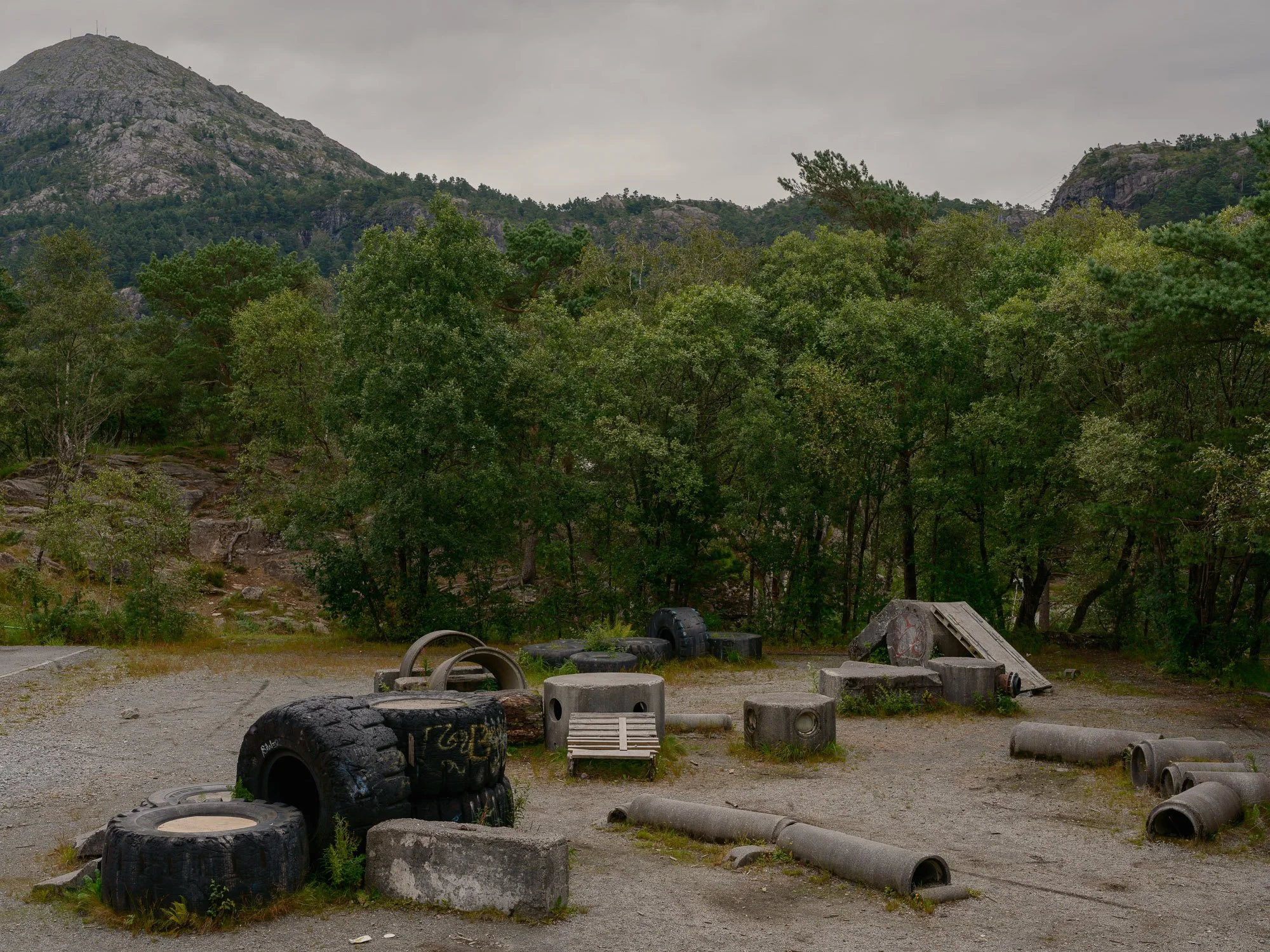
2026-08-12 - Sandgotna playground.
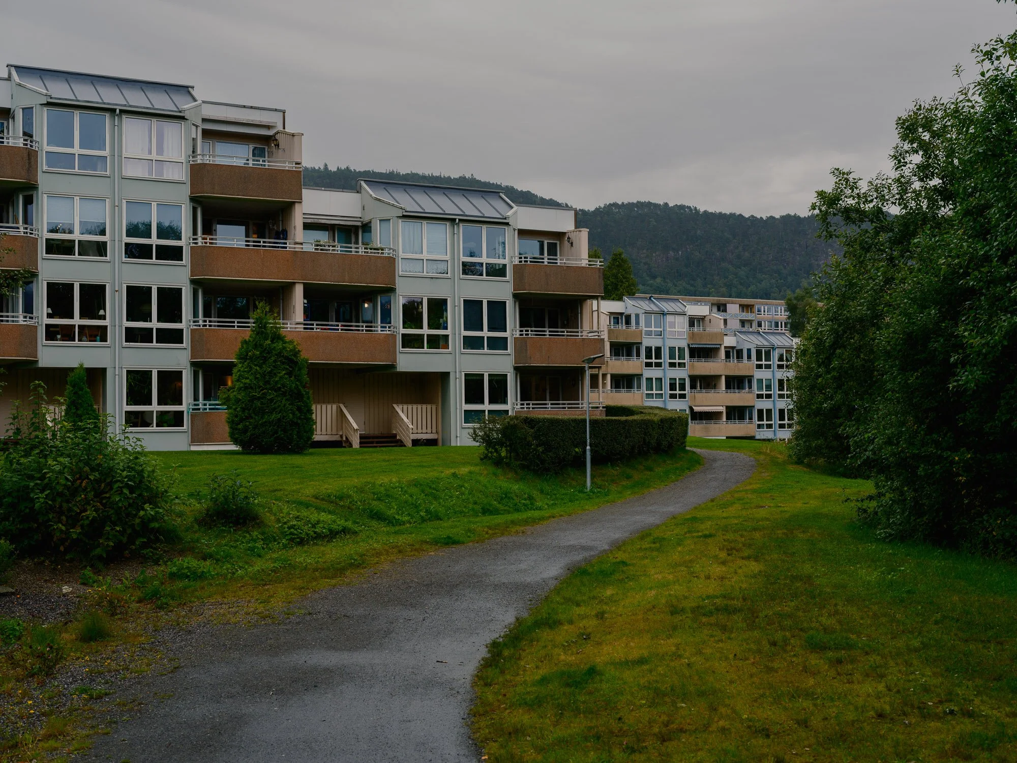
2026-08-13 - Ortun.
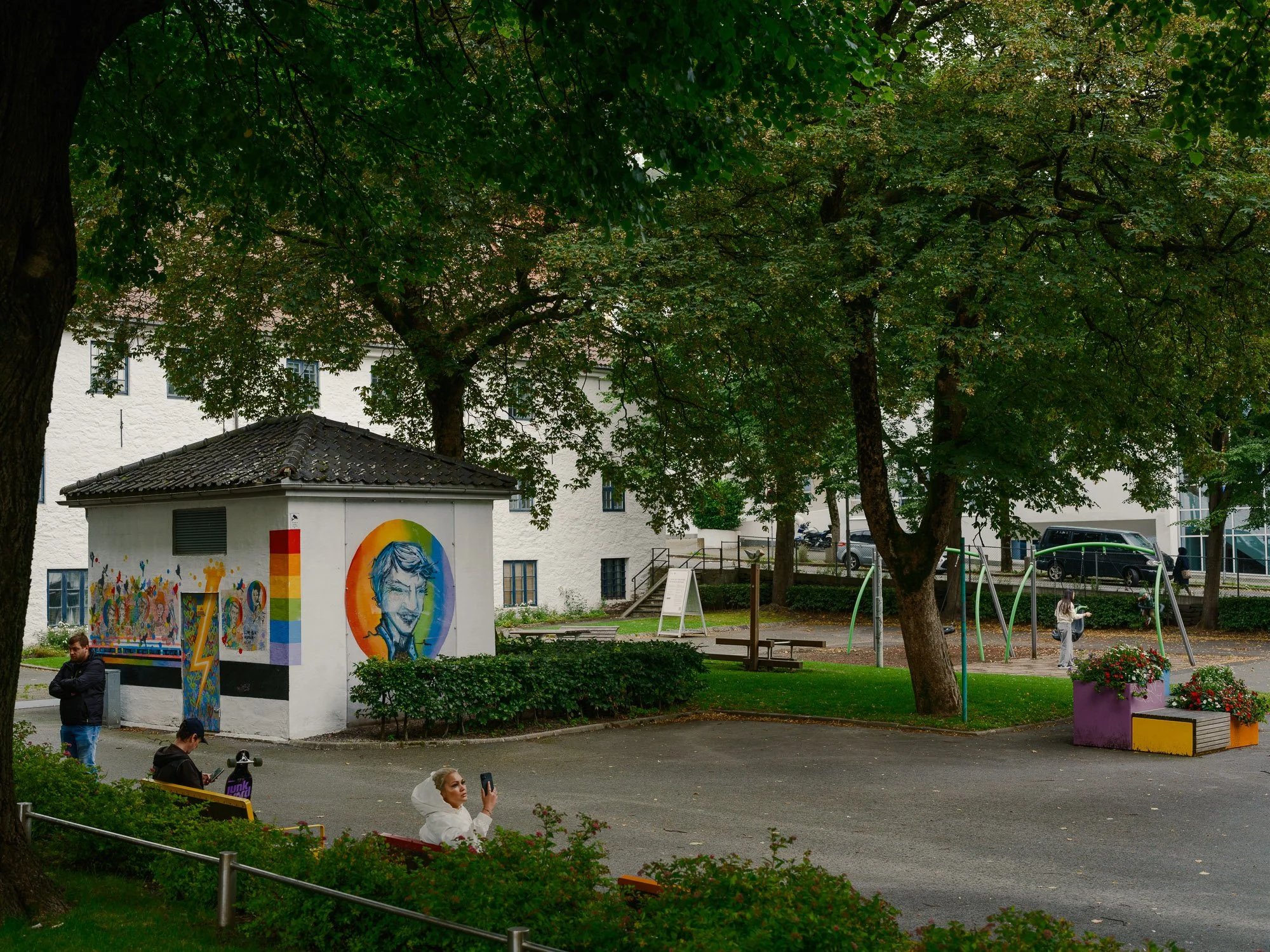
2026-08-14 - Kim Frieles plass.
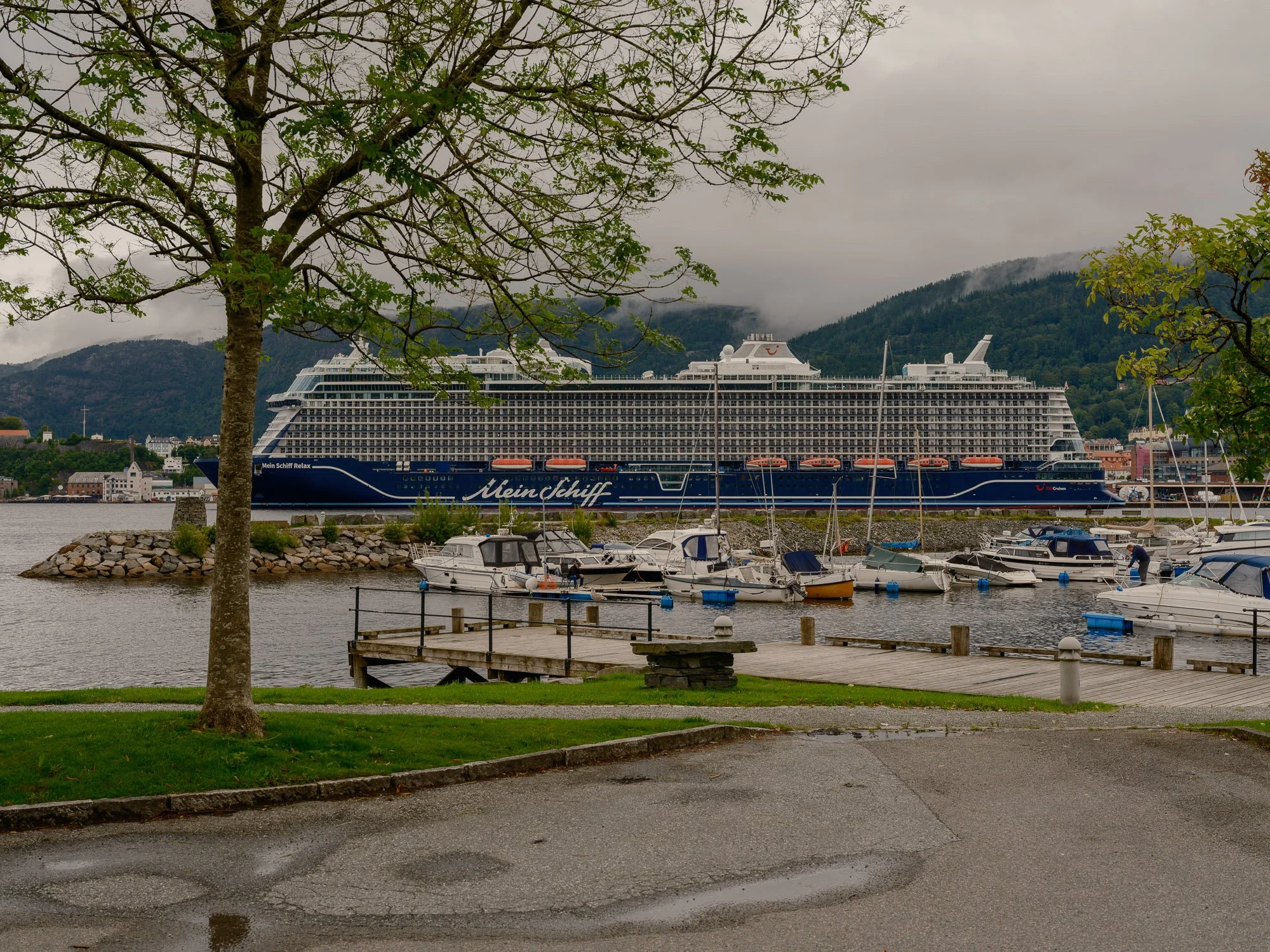
2026-08-15 - Kirkebukten.
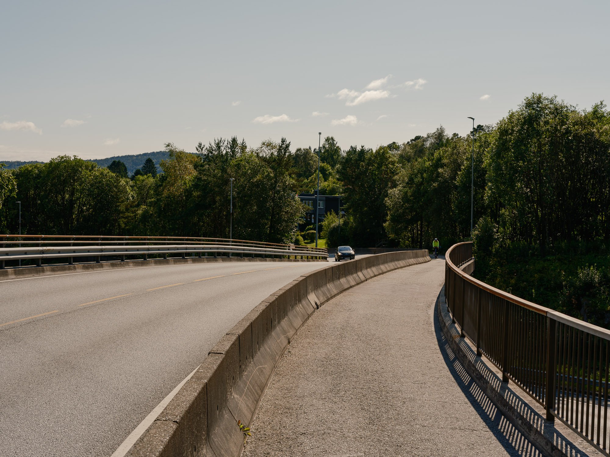
2026-08-17 - Bridge over the E39, Åsane.
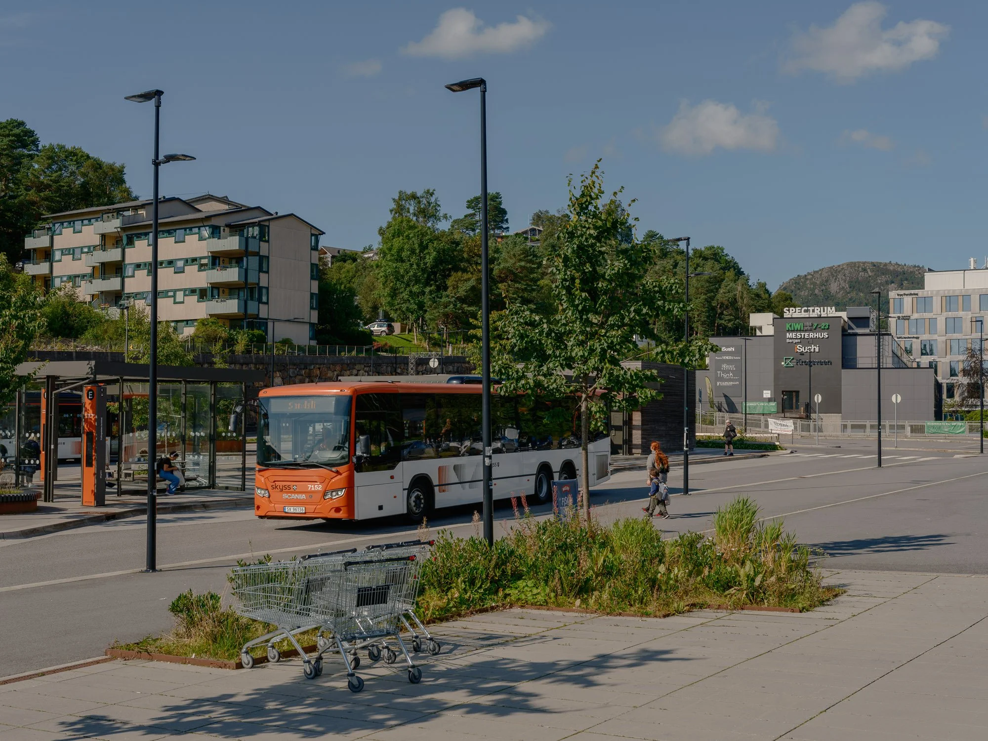
2026-08-18 - Fyllingsdalen terminal.
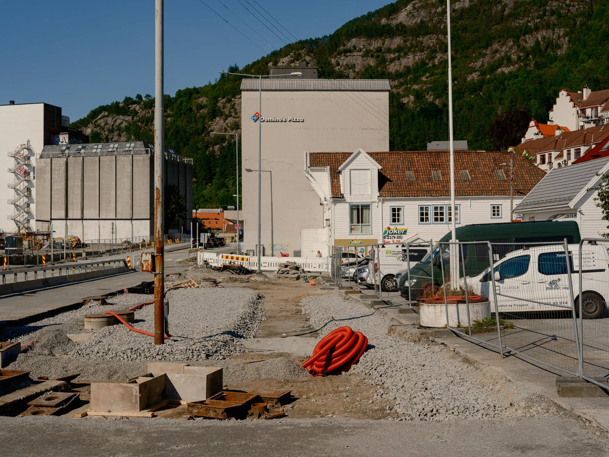
2026-08-19 - Sandvikstorget.
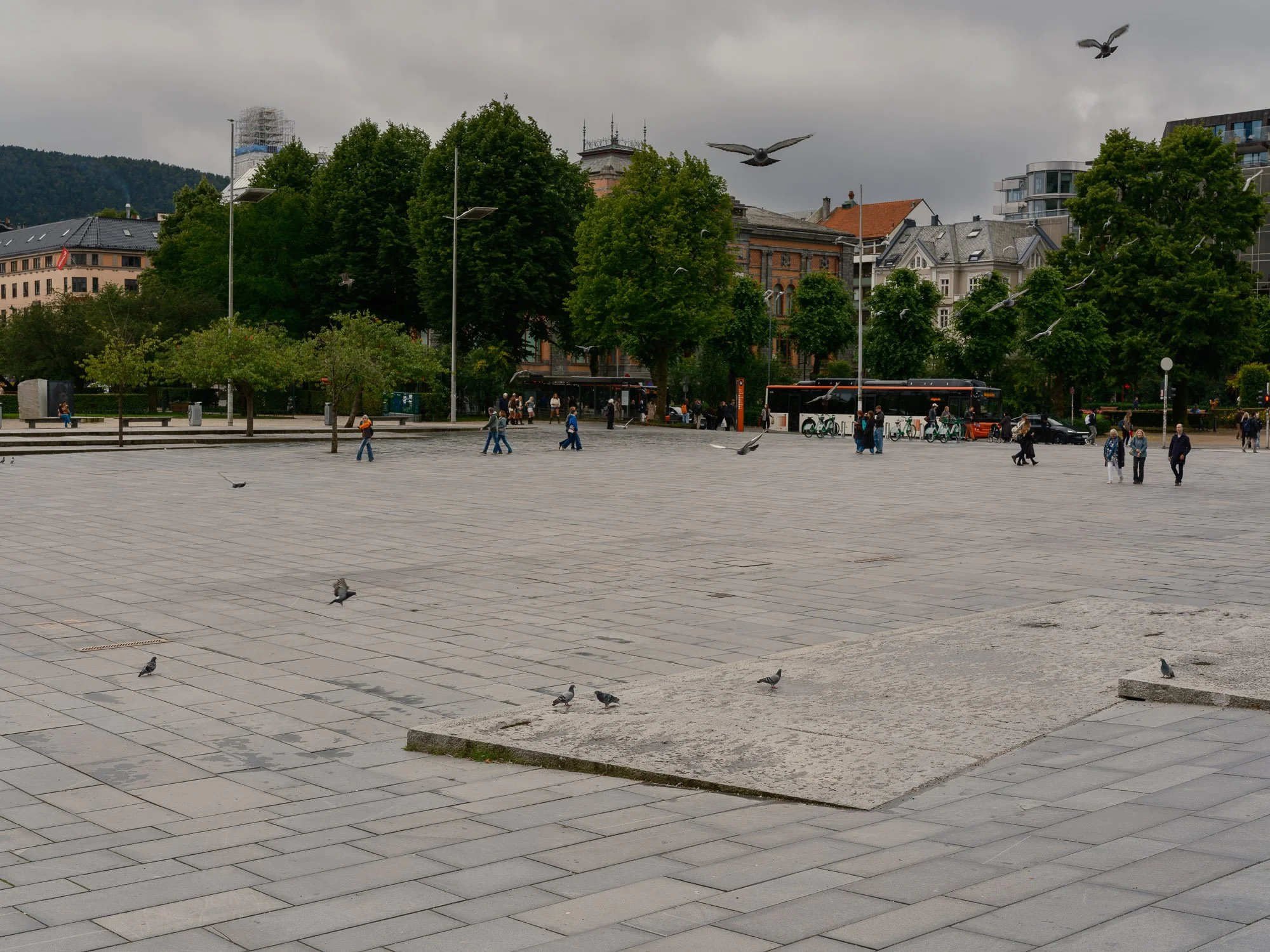
2026-08-21 - Festplassen.
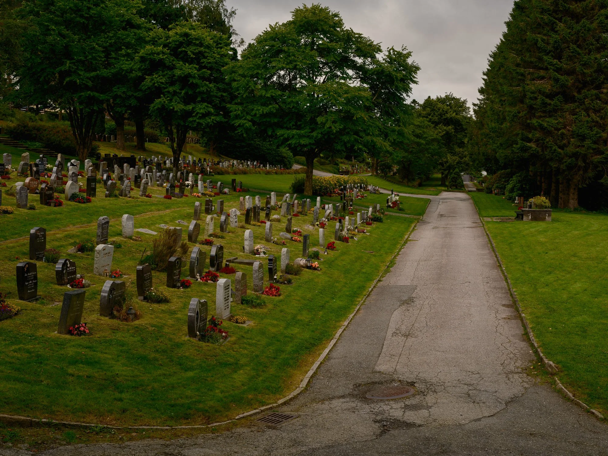
2026-08-22 - Solheim graveyard.
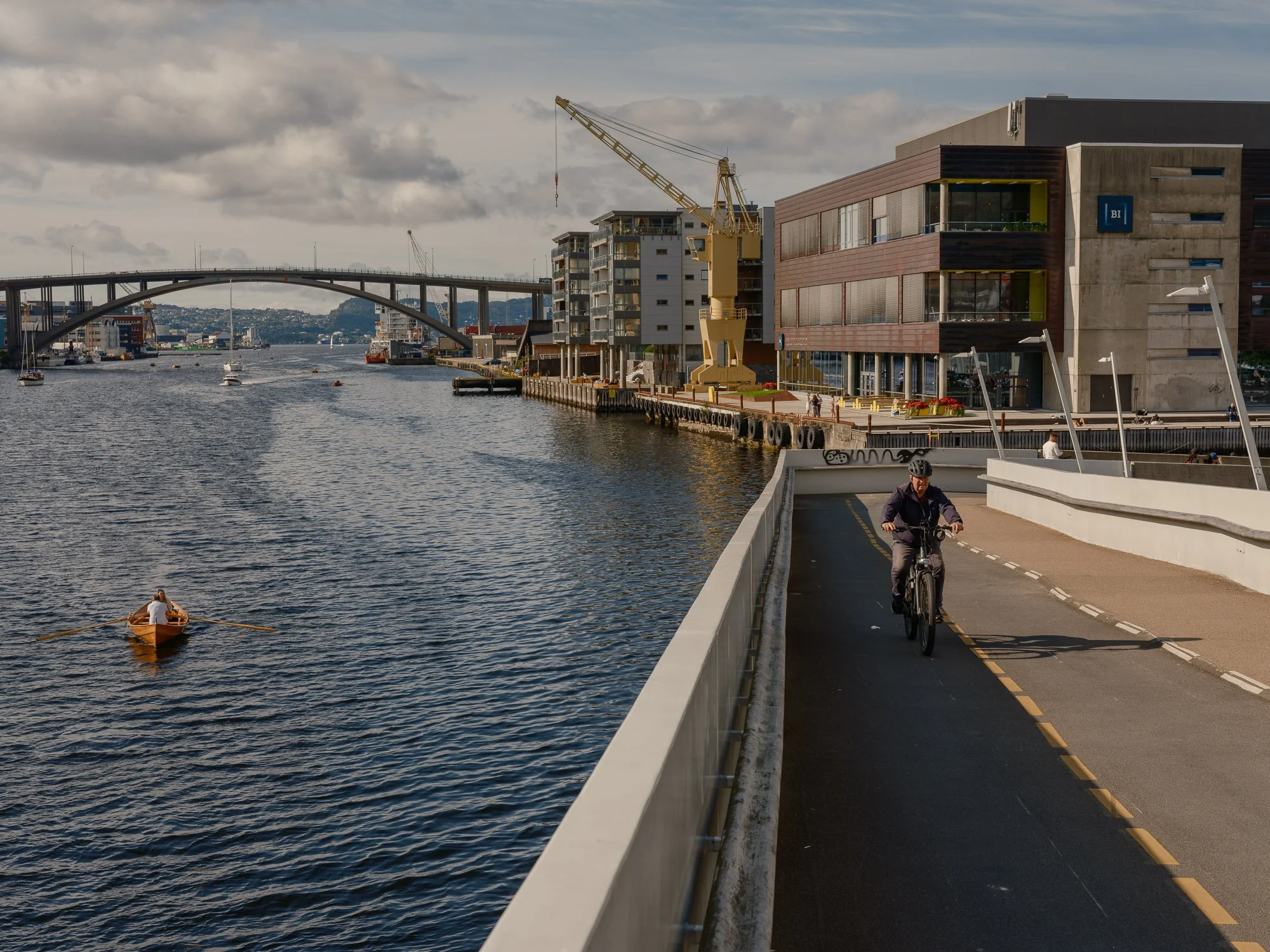
2026-08-23 - Småpudden.
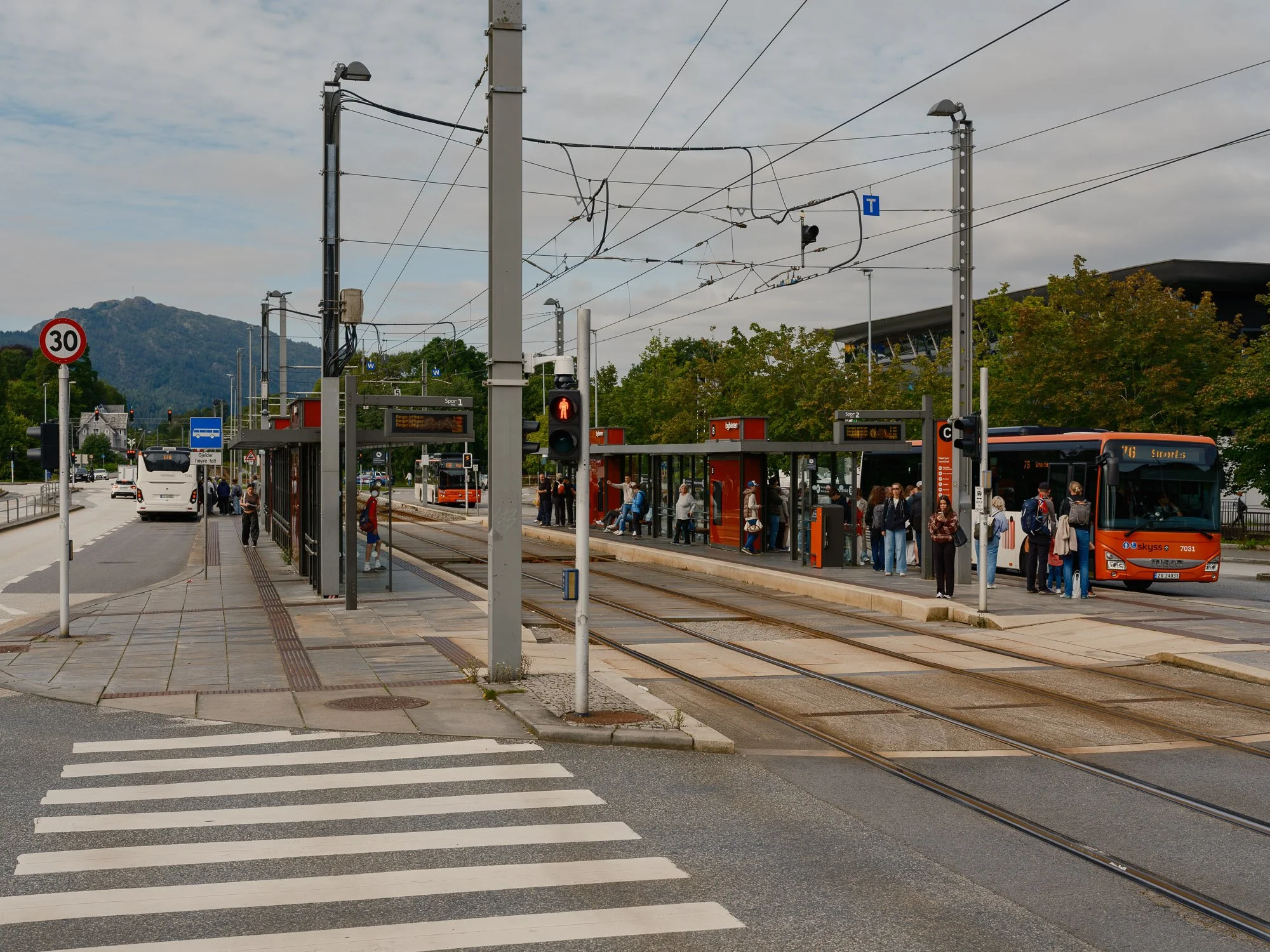
2026-08-24 - Nesttun terminal.
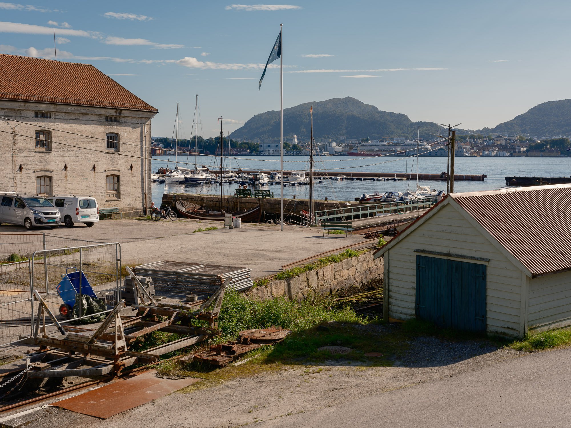
2026-08-26 - Elsesro.
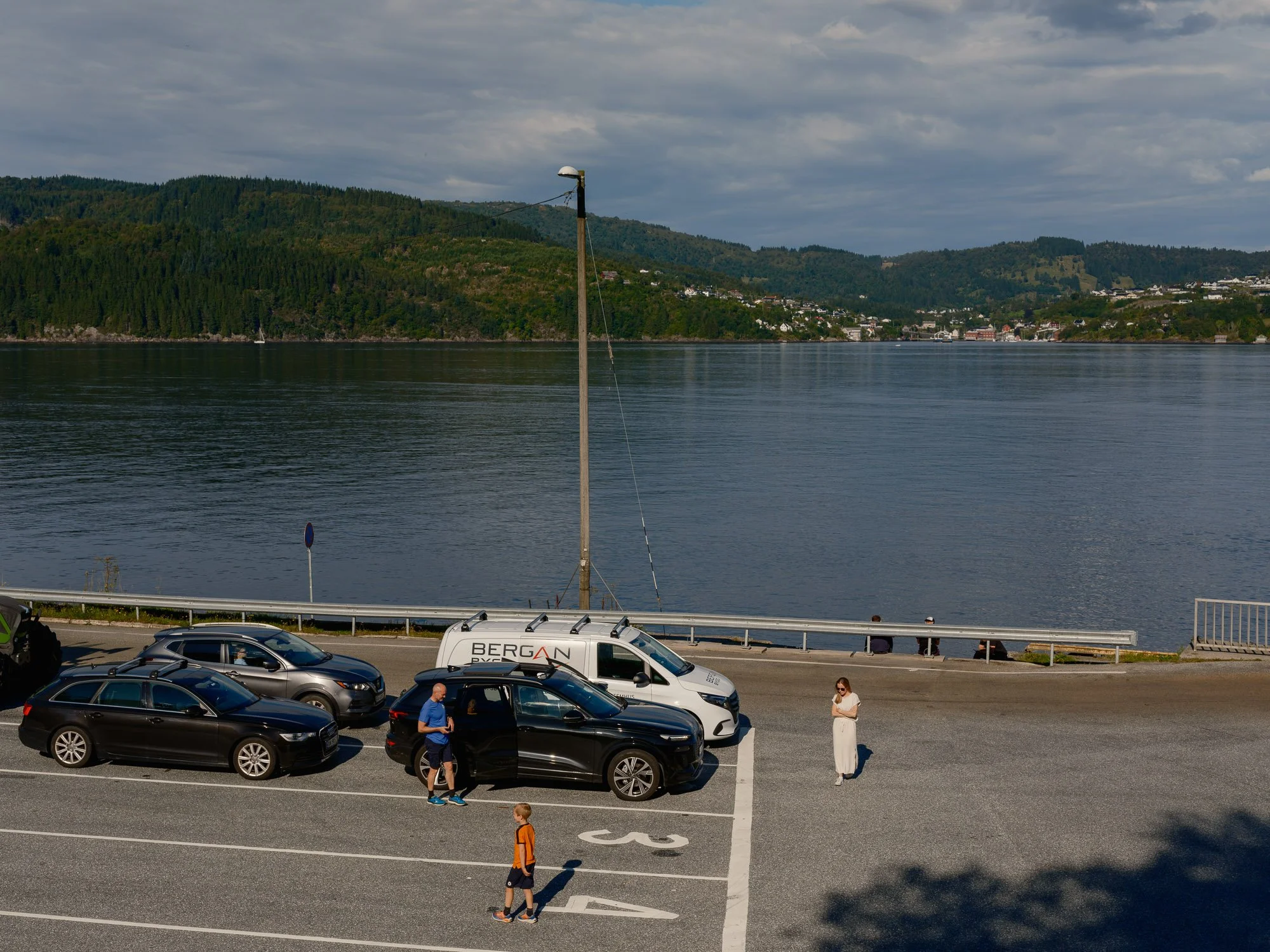
2026-08-27 - Breistein ferry quay.
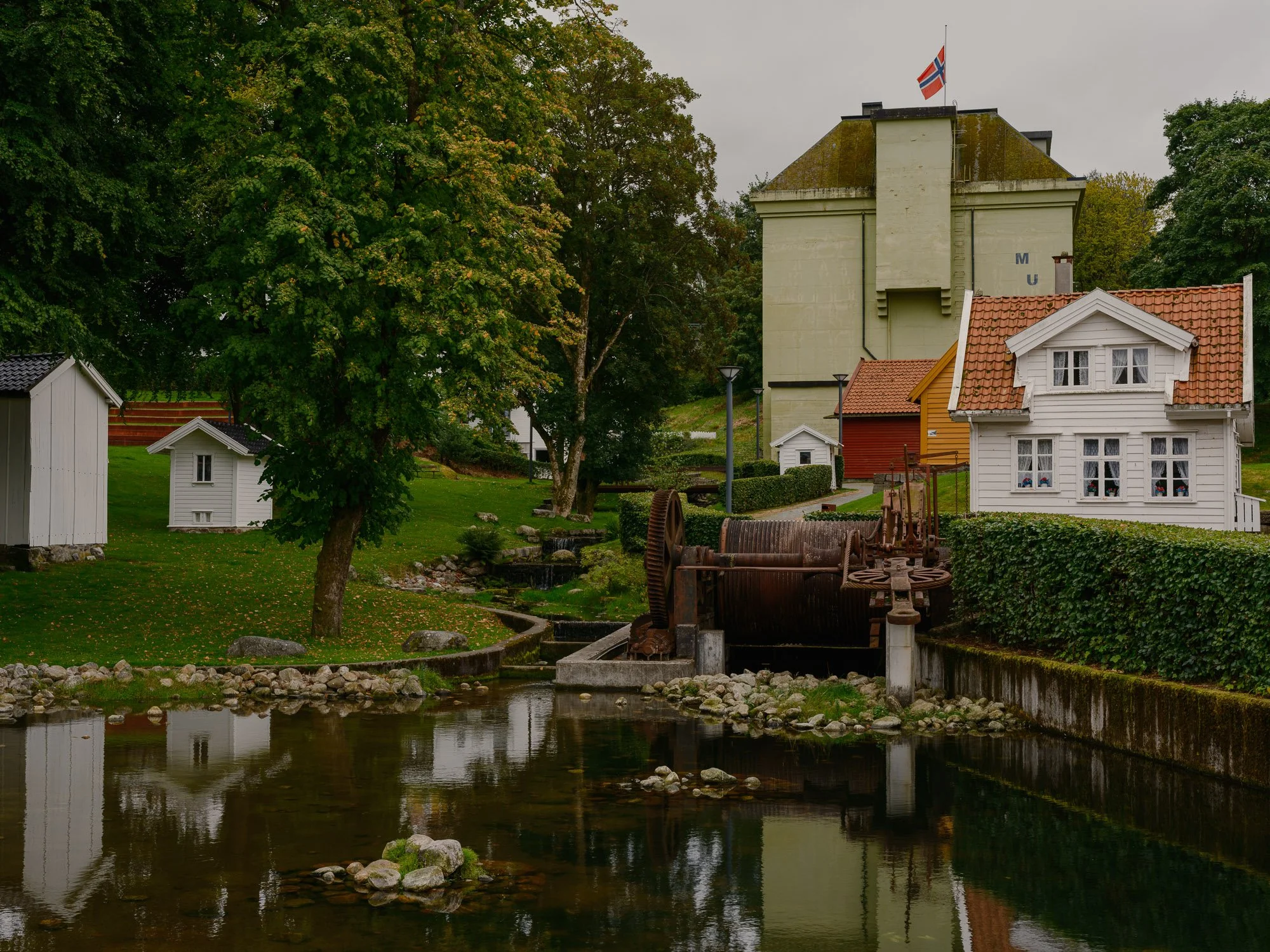
2026-08-30 - Håsteinarparken.

2026-08-31 - Meyermarken.
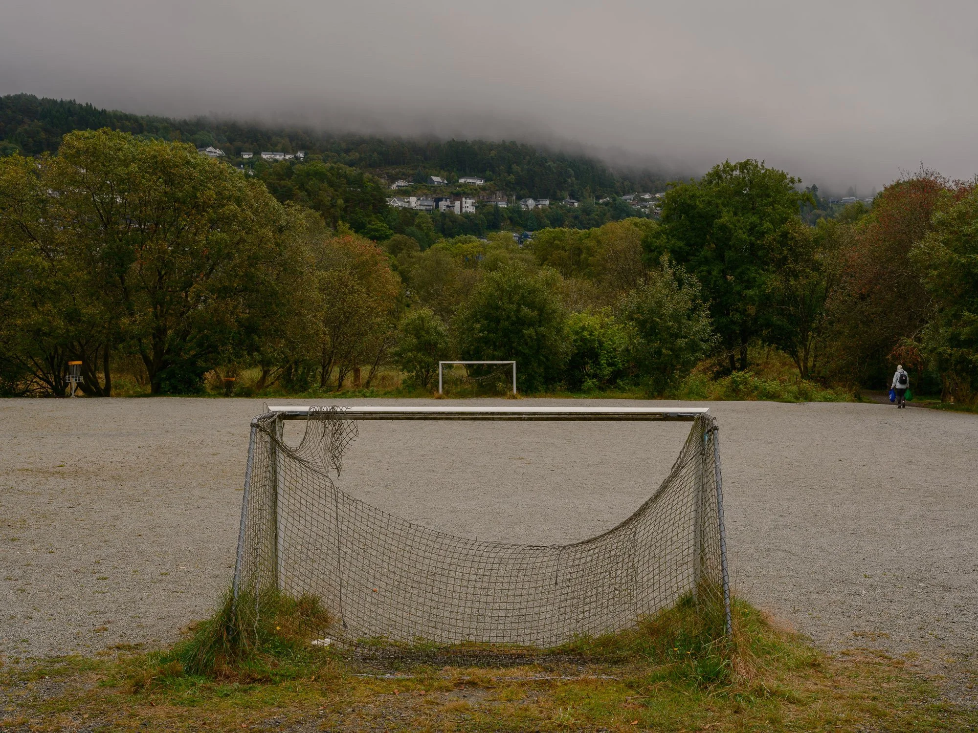
2026-09-01 - Lynghaugparken.
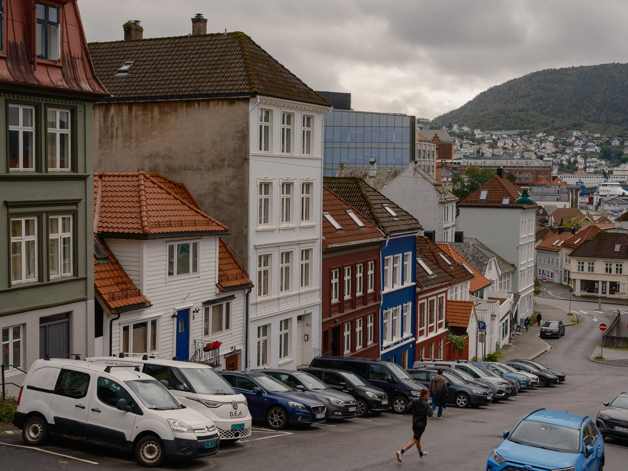
2026-09-02 - Vestre Murallmenningen.
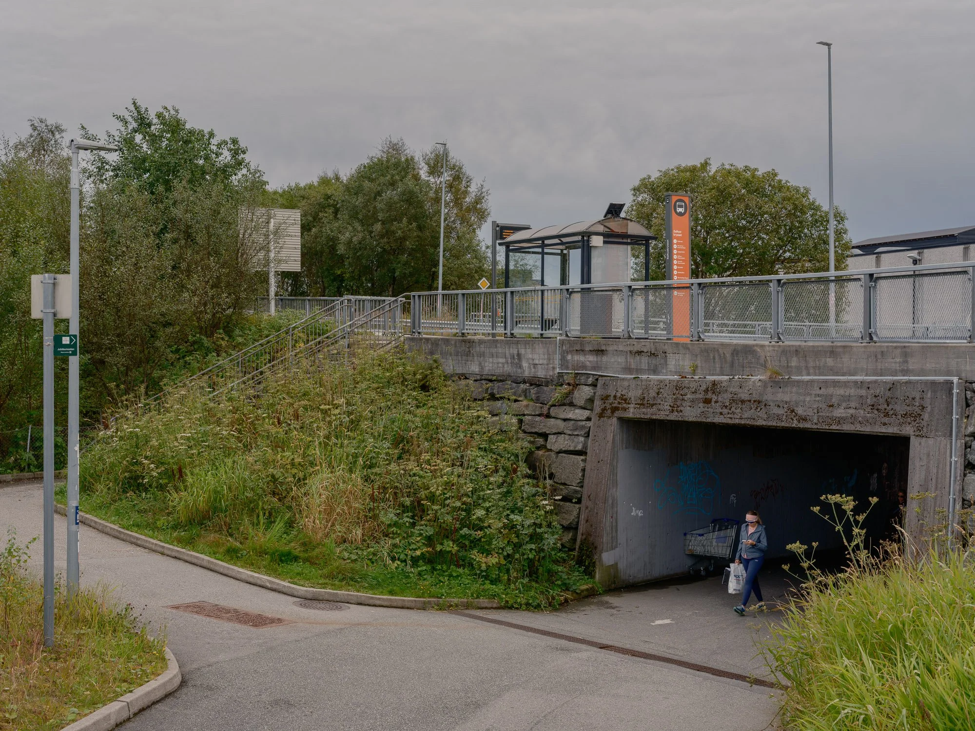
2026-09-03 - Salhuskrysset.
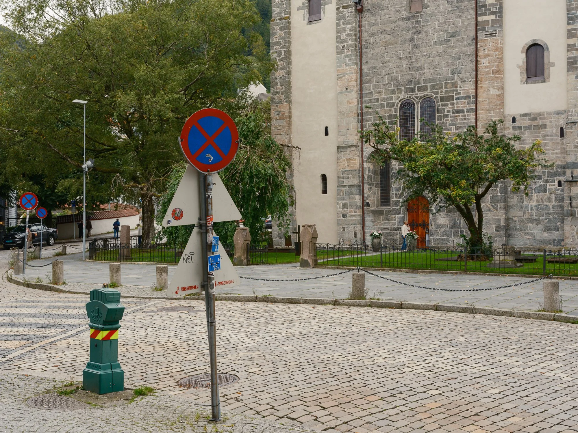
2026-09-04 - Dreggsallmenningen.
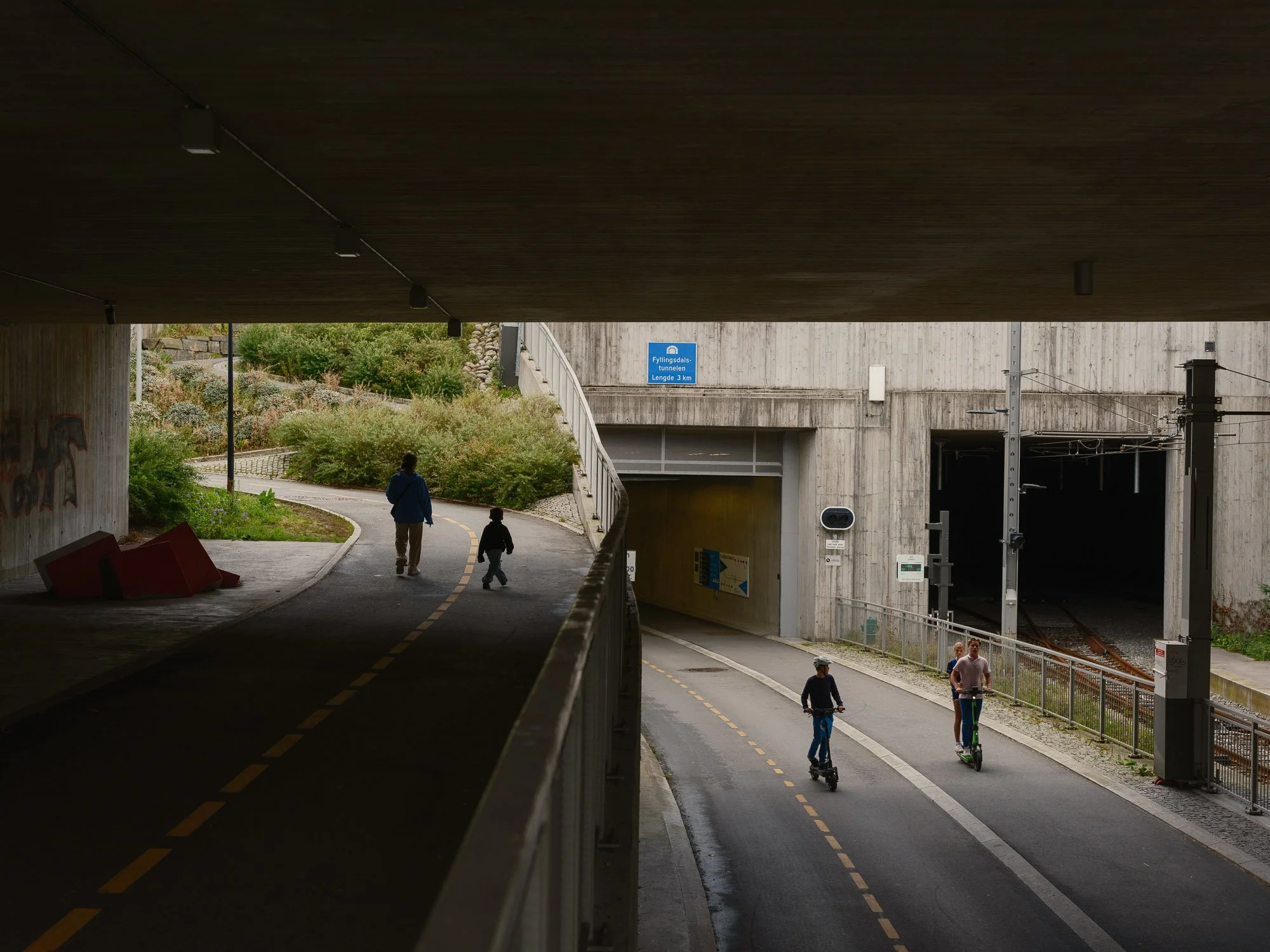
2026-09-05 - Fyllingsdalstunnelen.
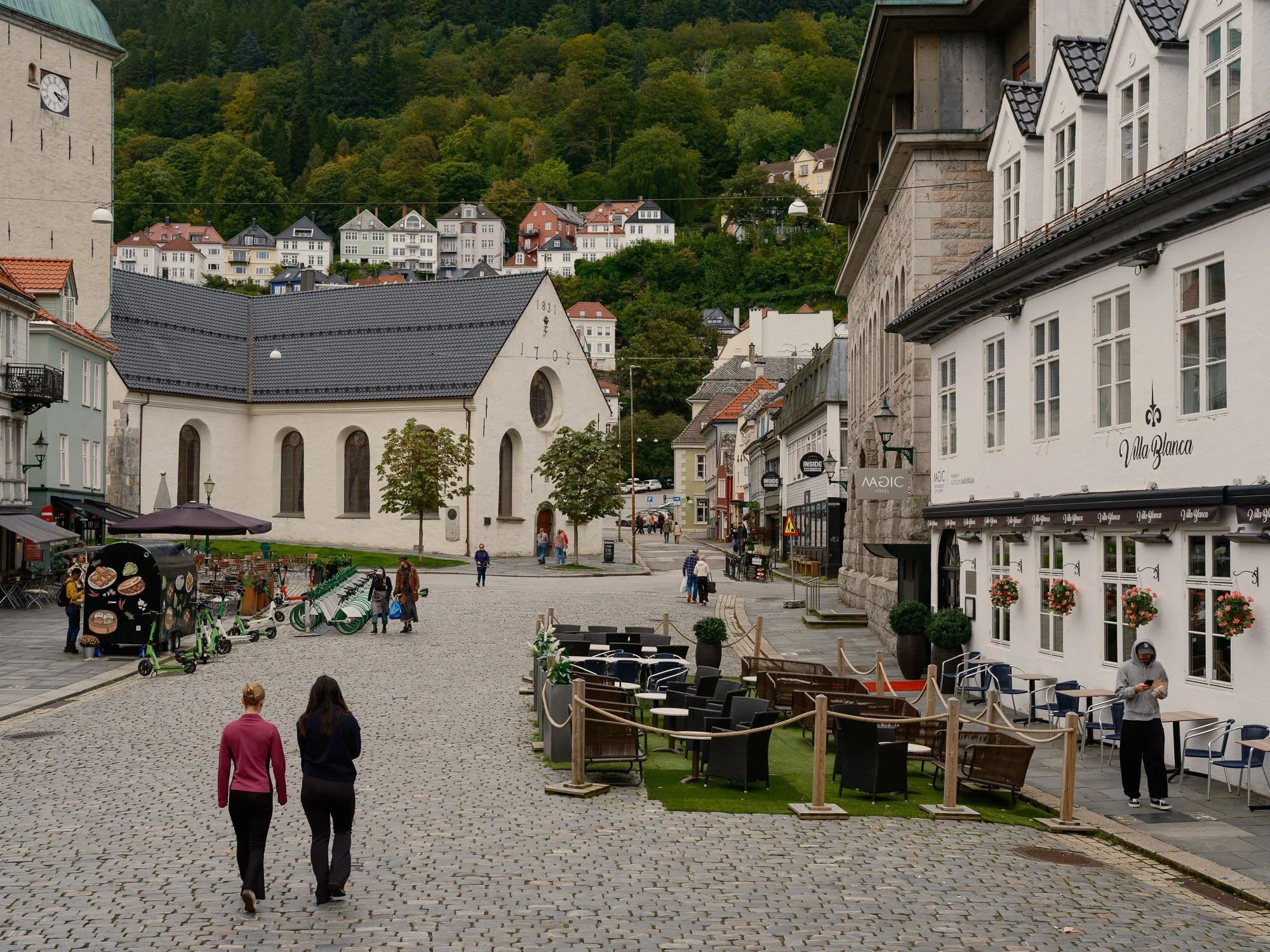
2026-09-06 - Nedre Korskirkeallmenningen.
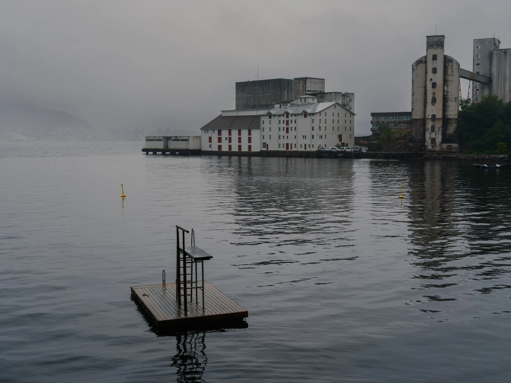
2026-09-07 - Sandviken sjøbad.
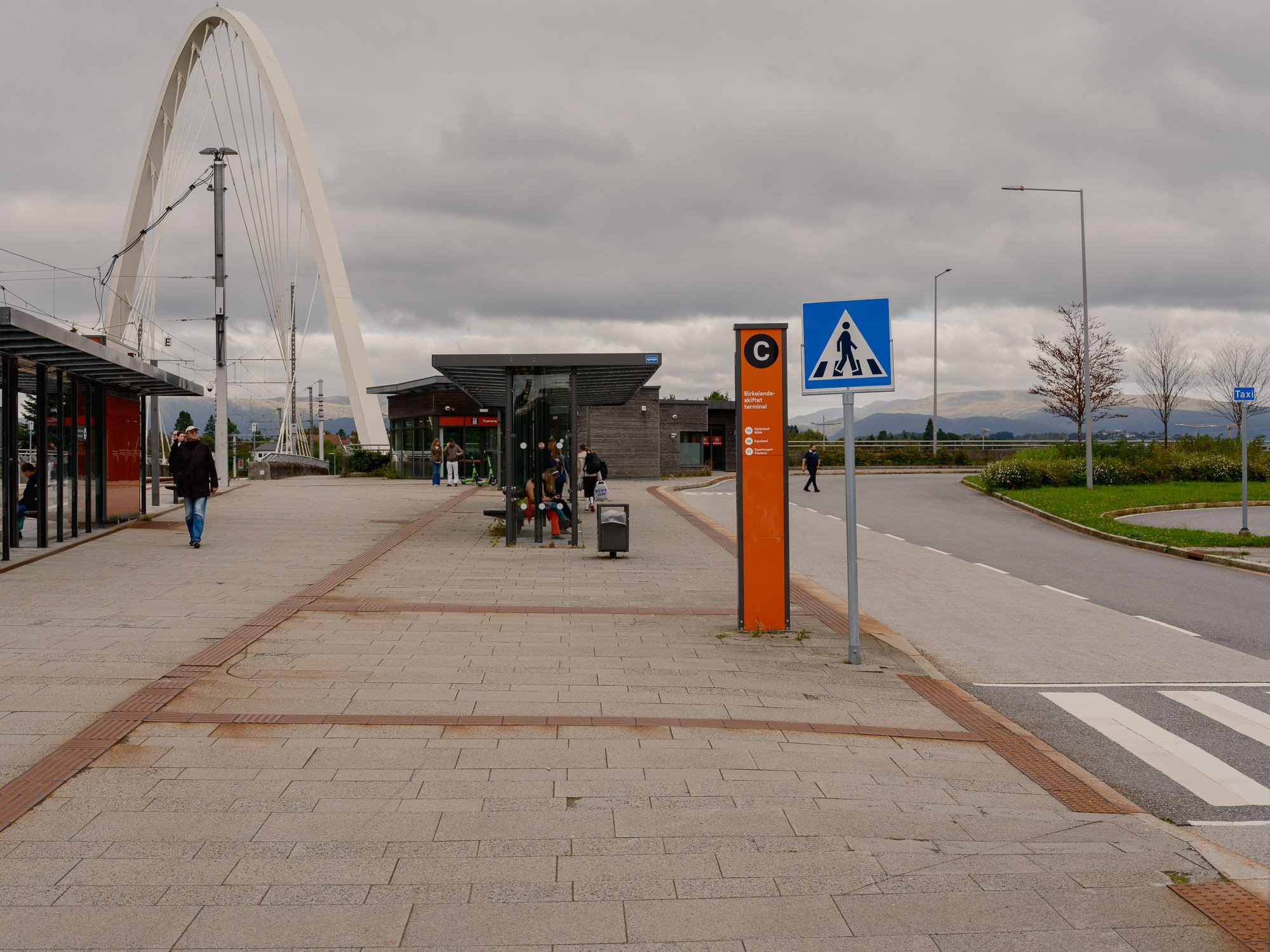
2026-09-10 - Birkelandsskiftet terminal.
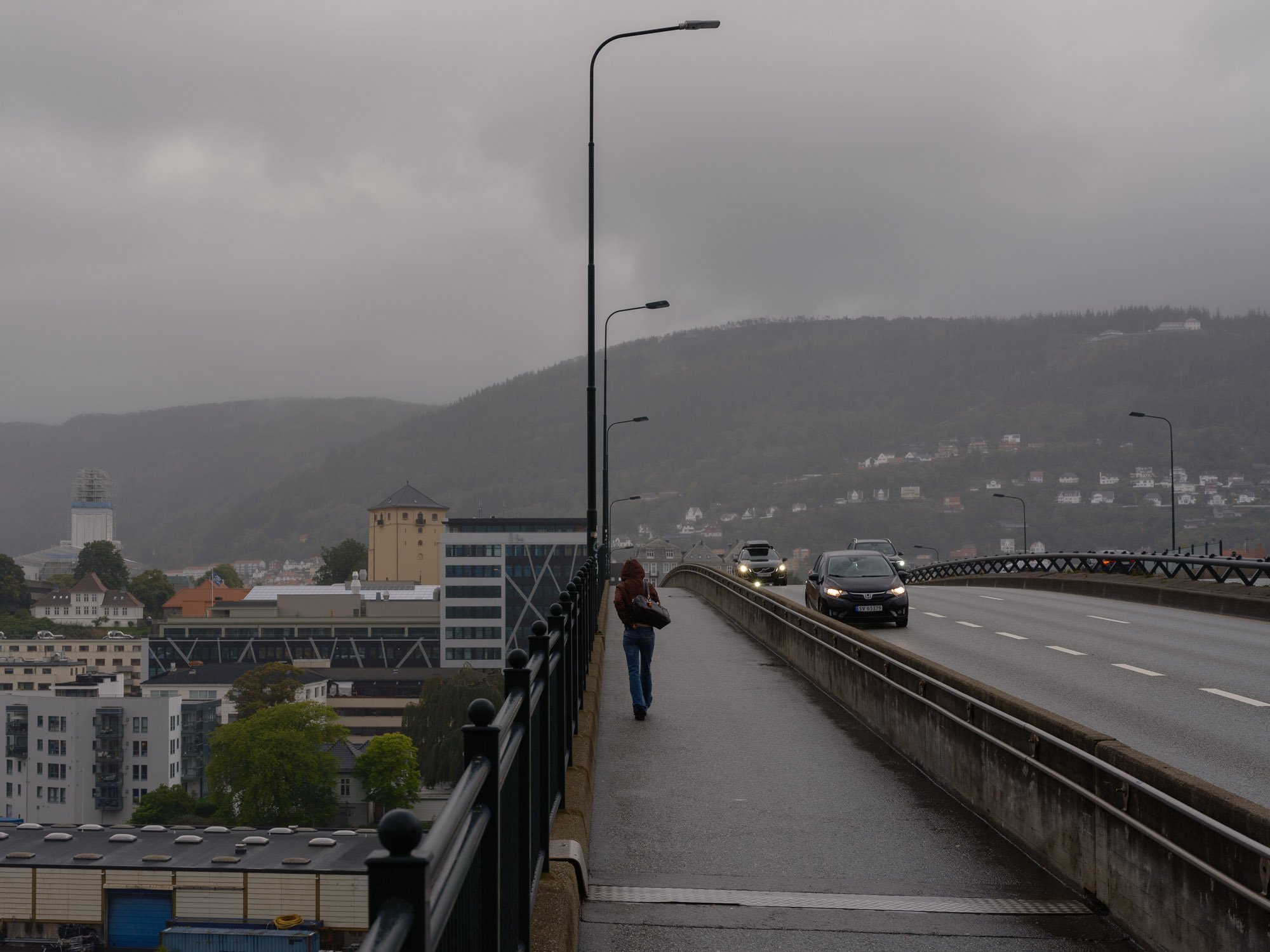
2026-09-11 - Puddefjordsbroen.
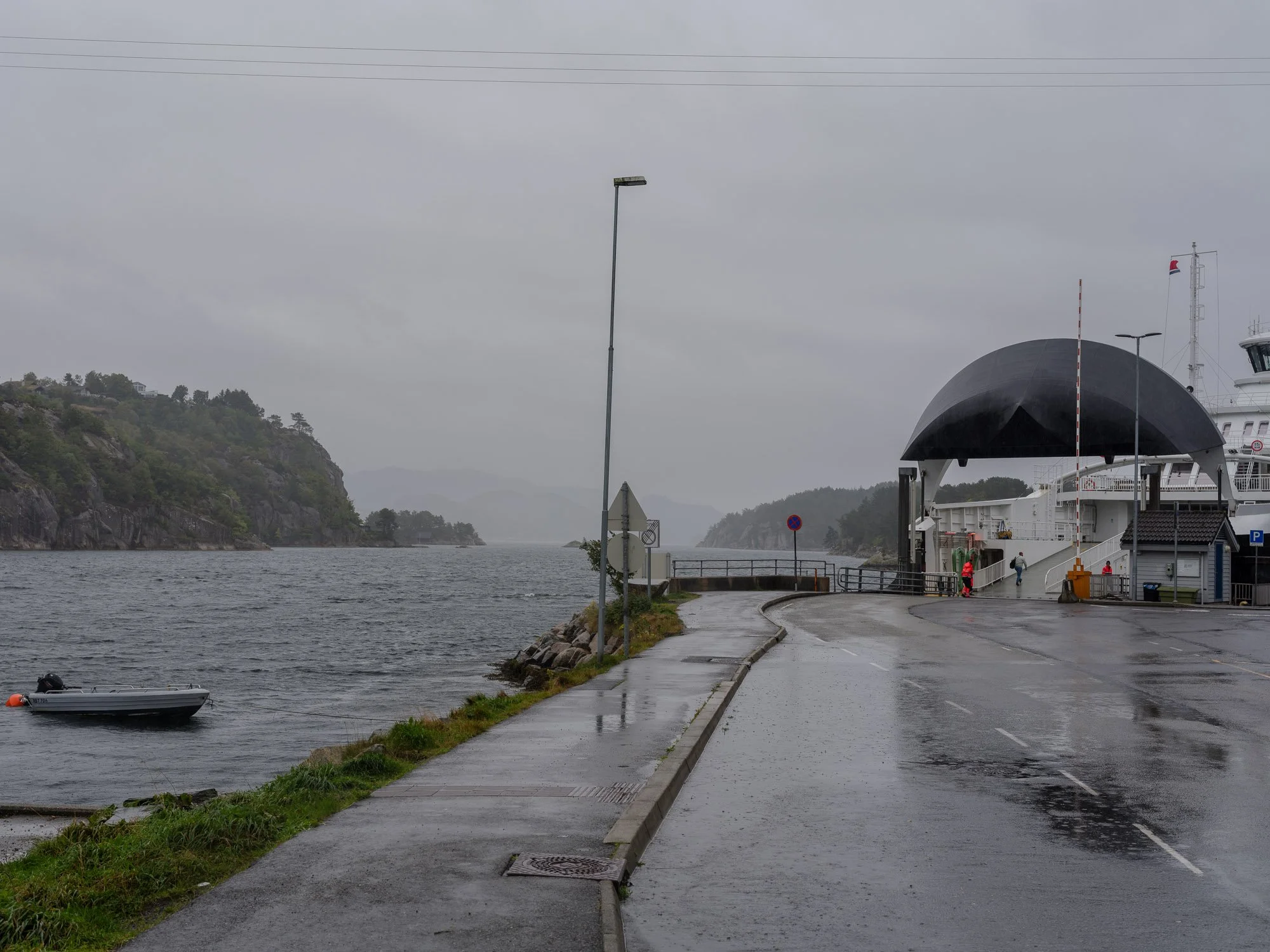
2026-09-12 - Krokeide ferry quay.
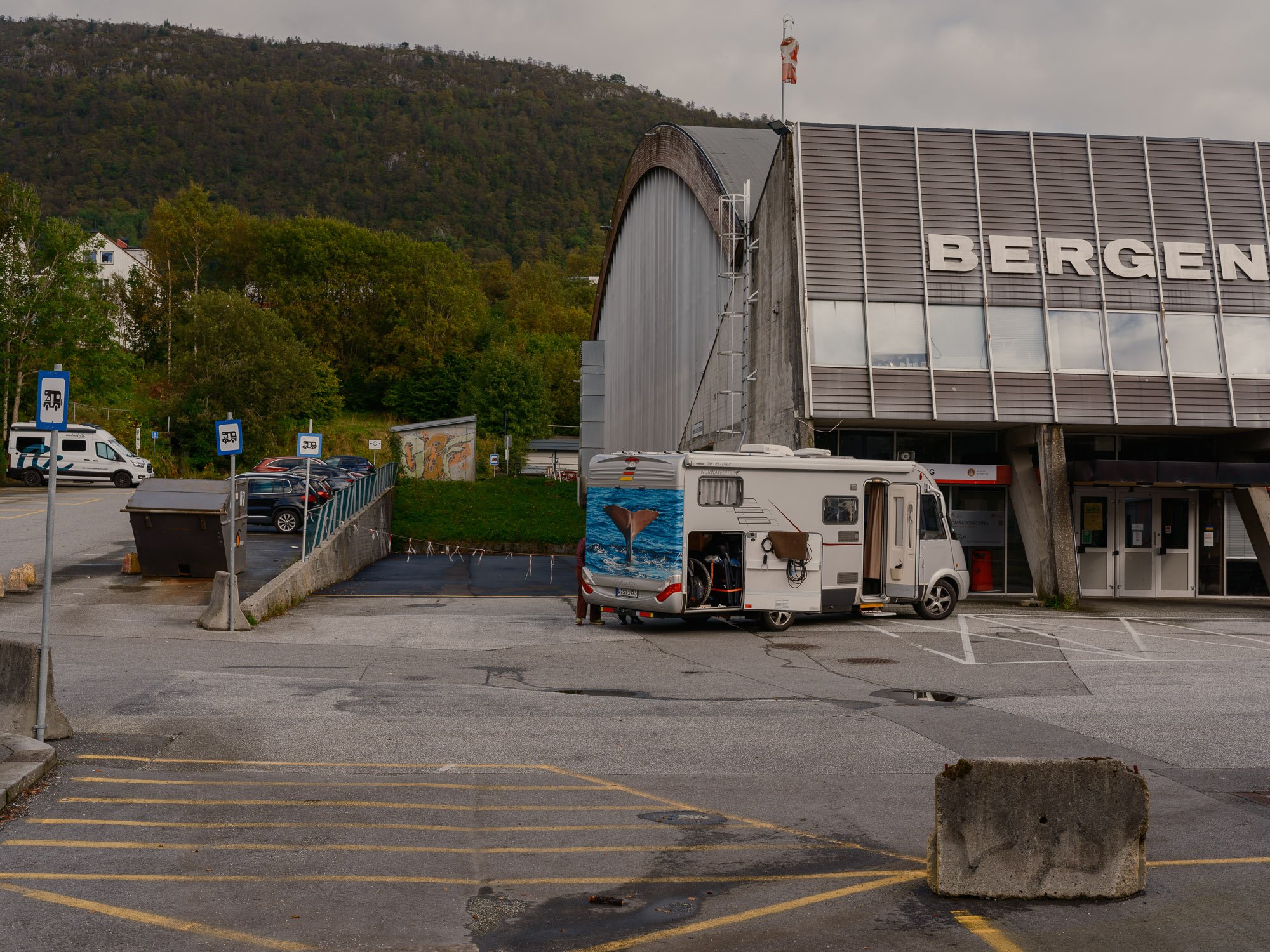
2026-09-13 - Bergenshallen motorhome parking.
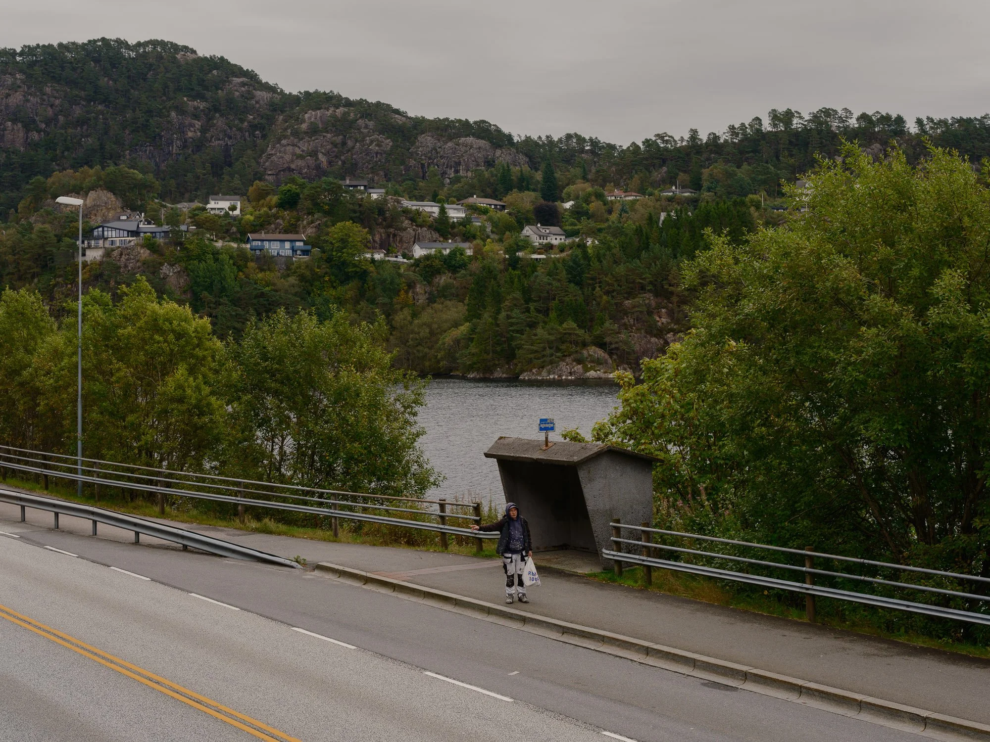
2026-09-14 - Hetlevikskiftet bus stop.
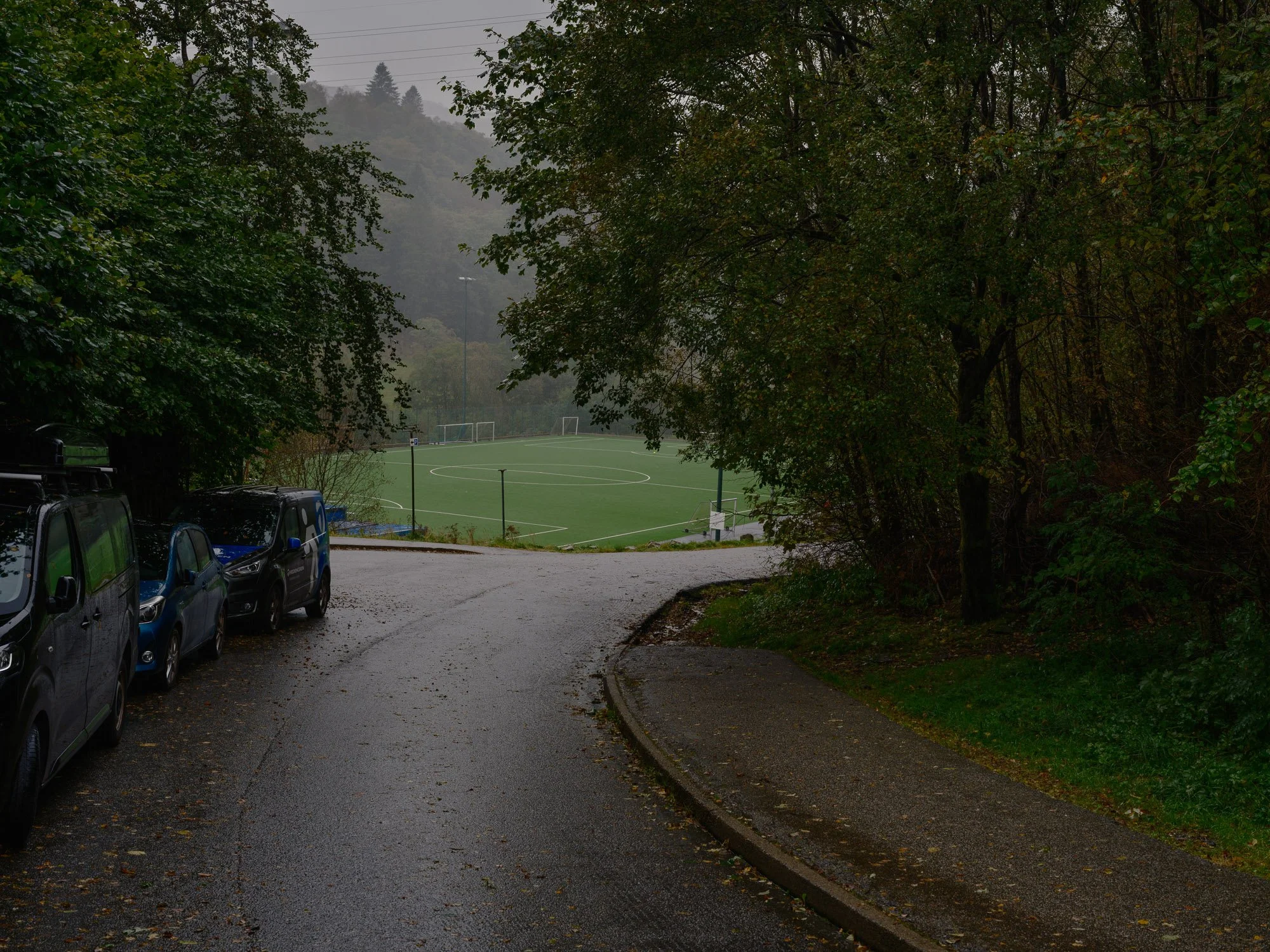
2026-09-16 - Kringlebotn football field.
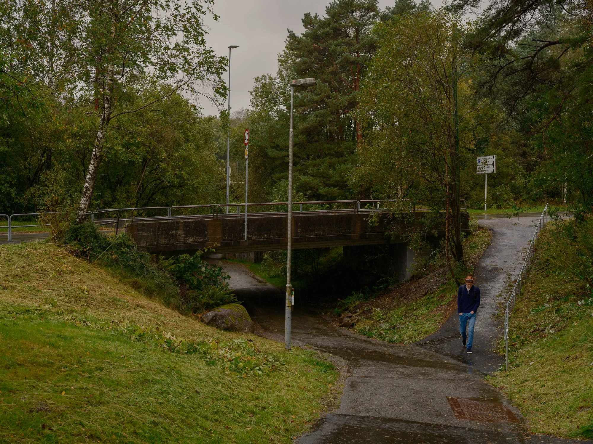
2026-09-17 - Sælenveien.
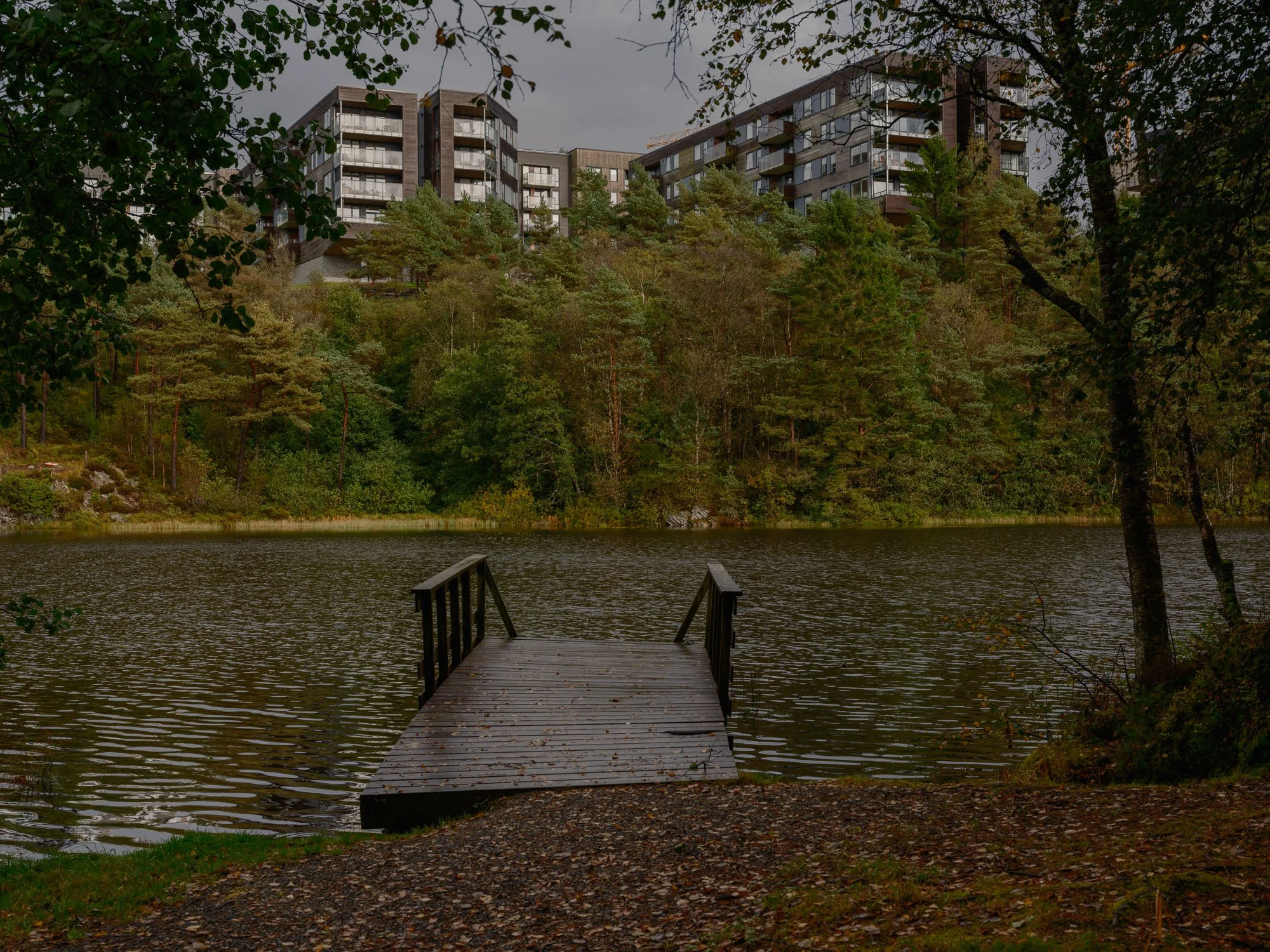
2026-09-19 - Håvardstunsvatnet.
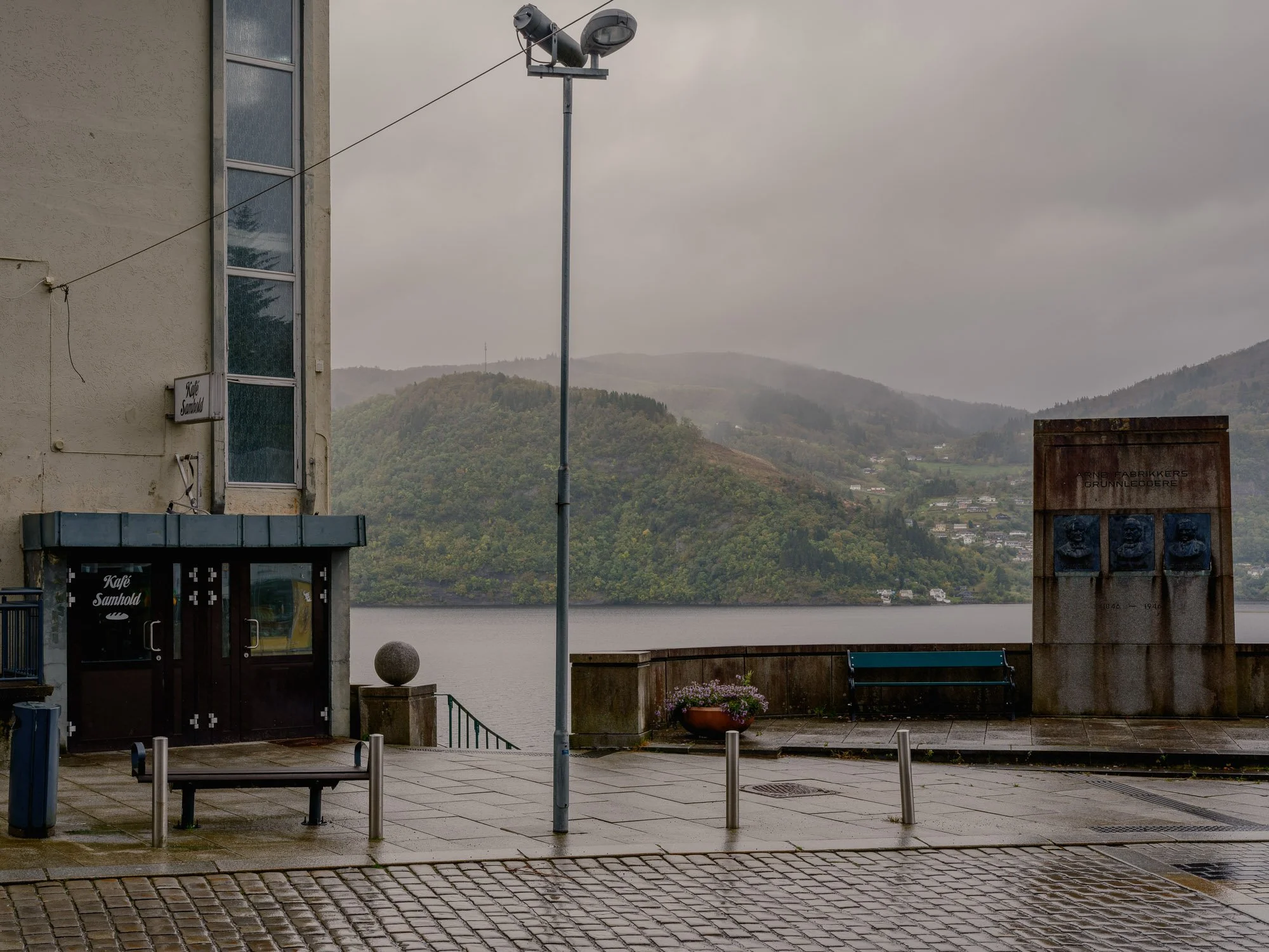
2026-09-20- Ytre Arna.
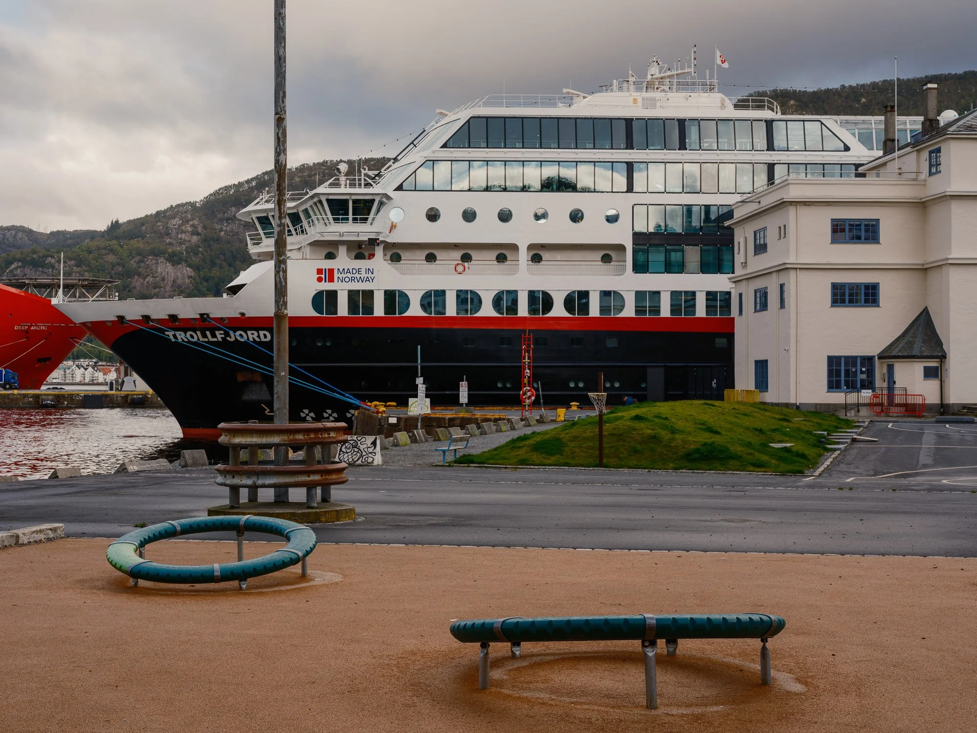
2026-09-21 - Tollbodallmenningen.
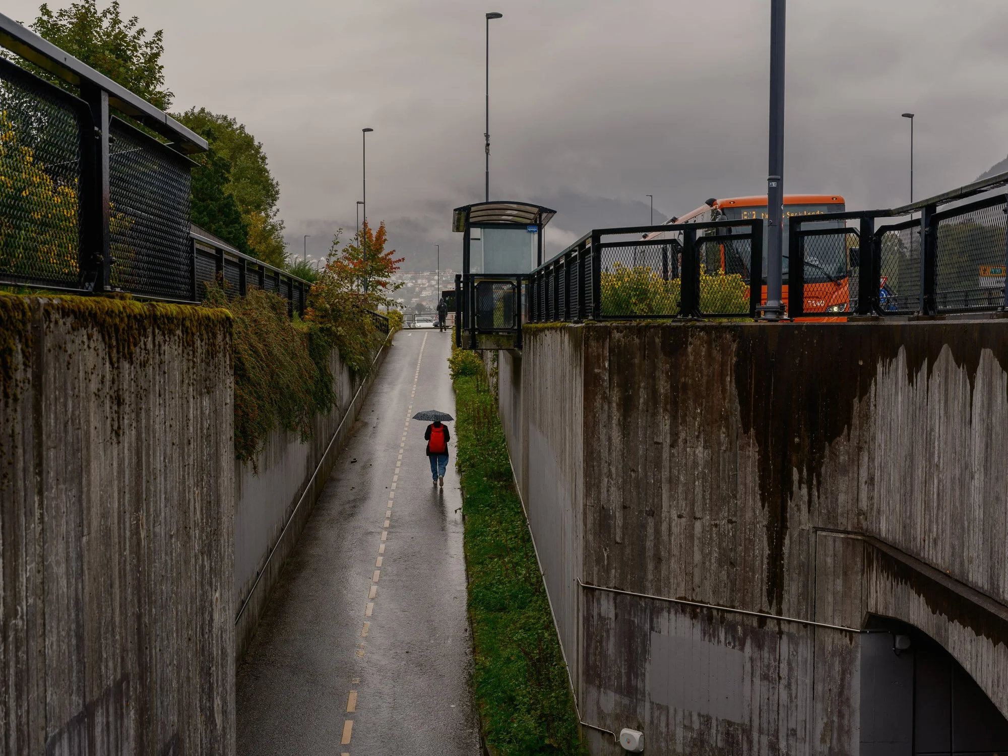
2026-09-22 - Minde.
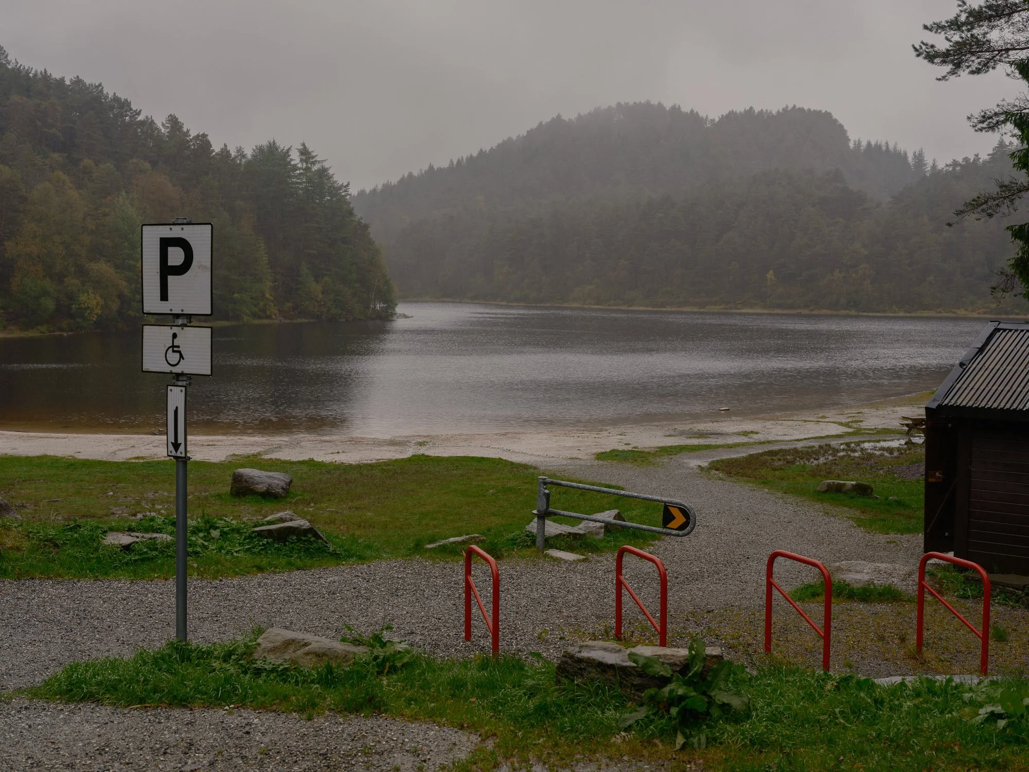
2026-09-23 - Tennebekktjørna bathing spot.
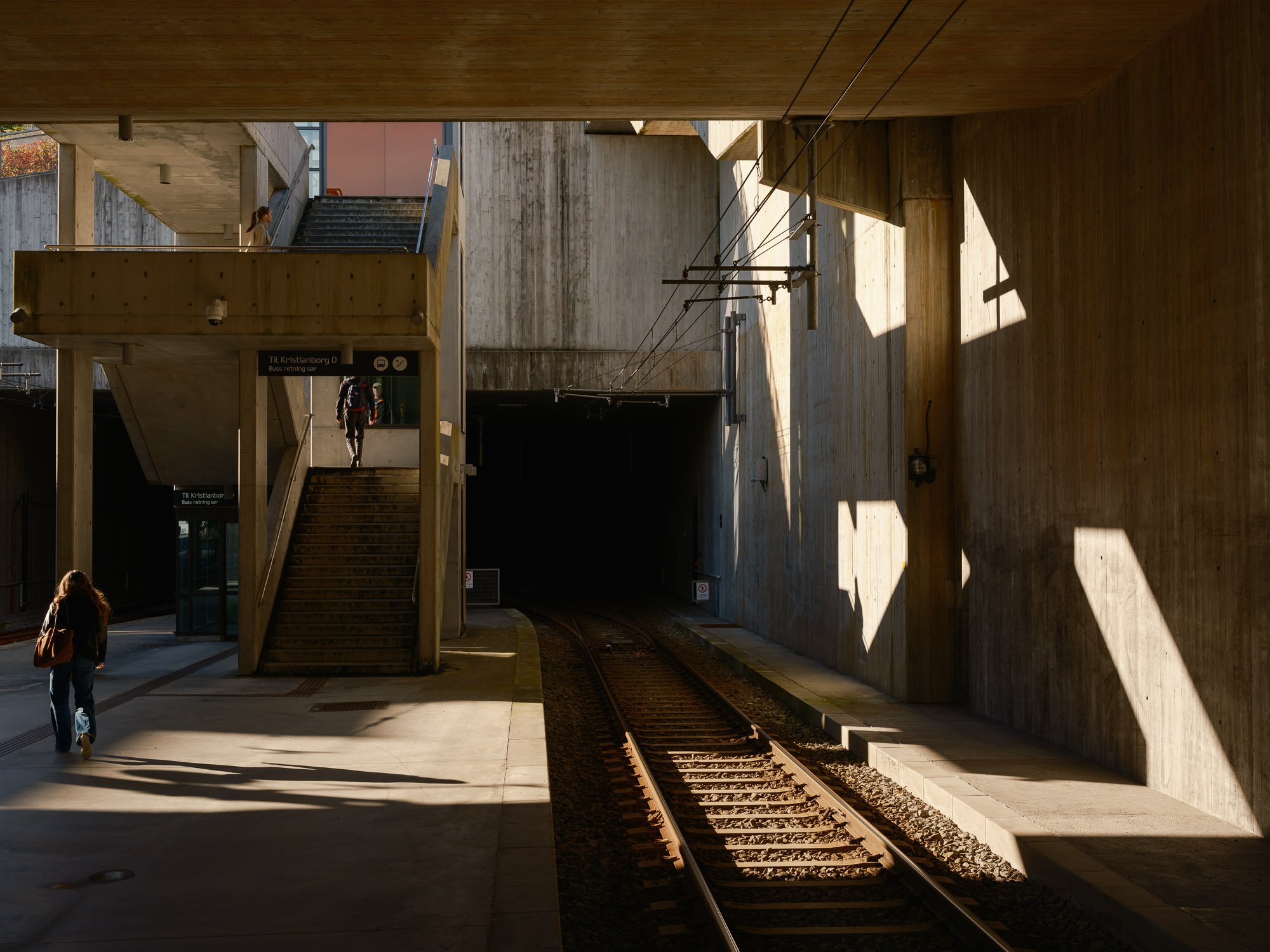
2026-09-24 - Bergen light rail station, Kristianborg.
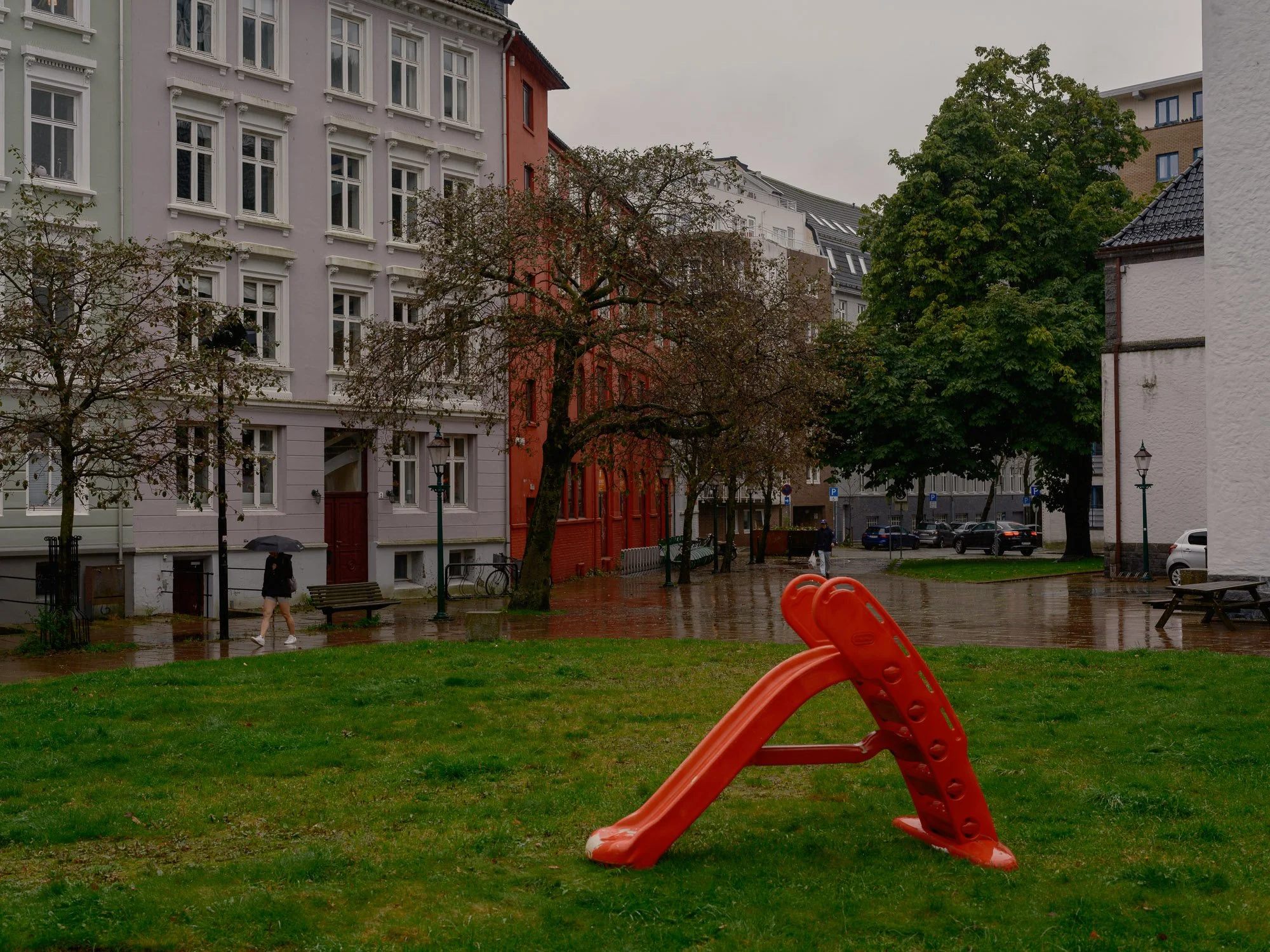
2026-09-25 - St. Jakobs plass.
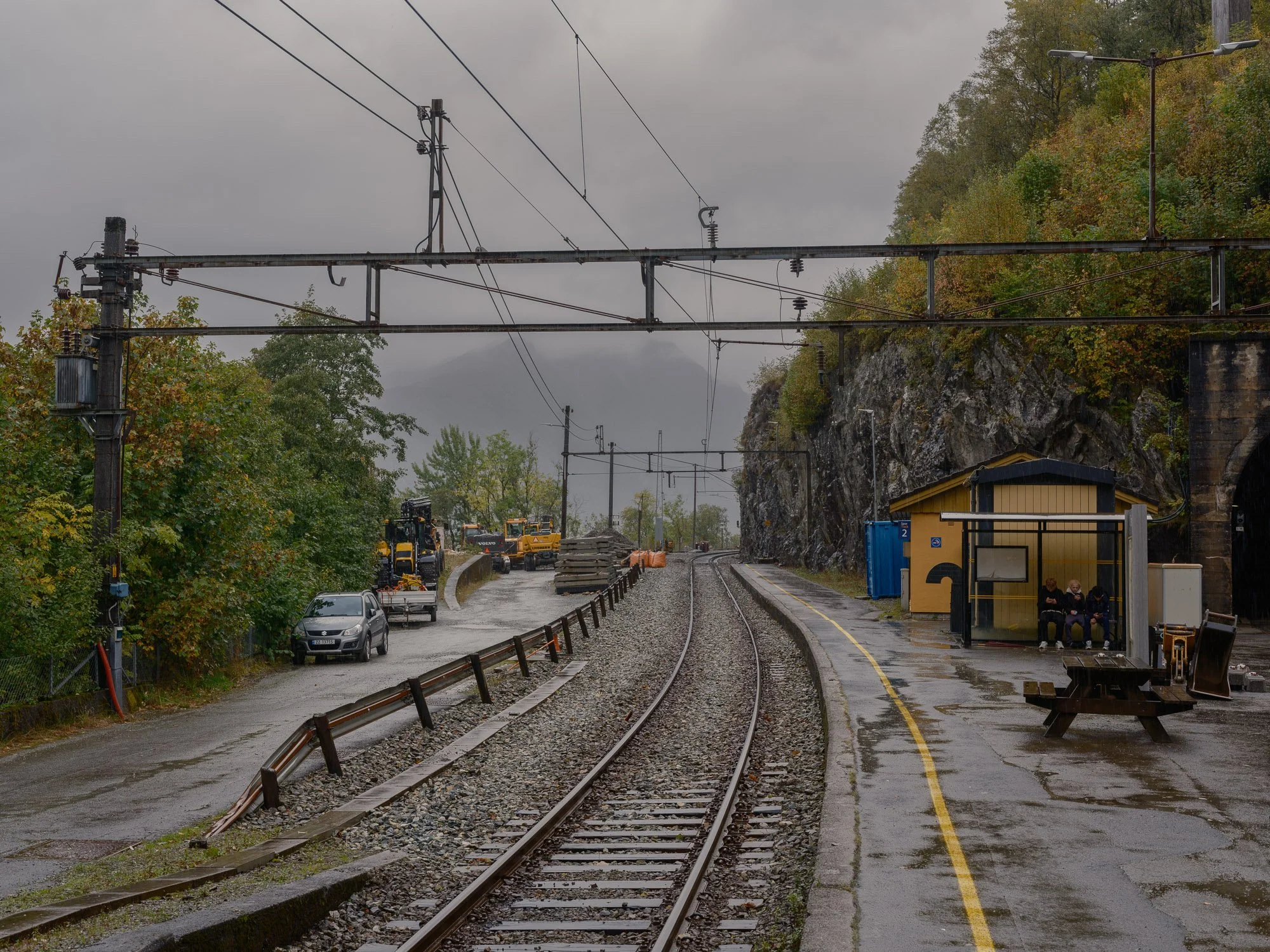
2026-09-26 - Trengereid train station.
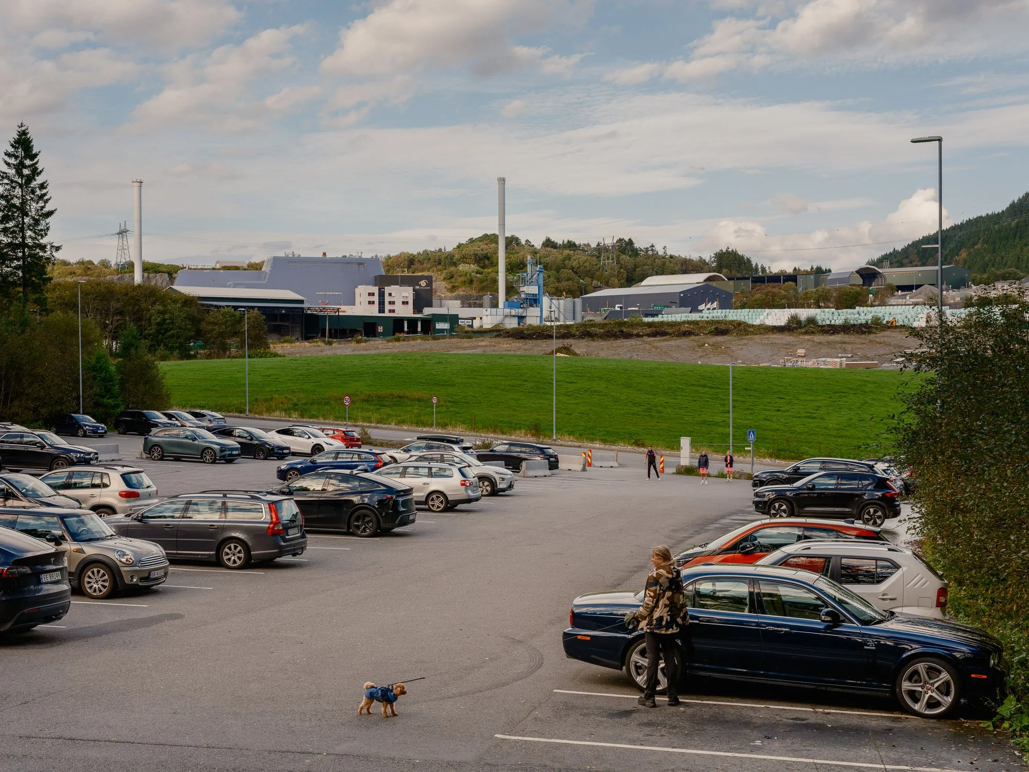
2026-09-27 - Hordnesskogen car park.
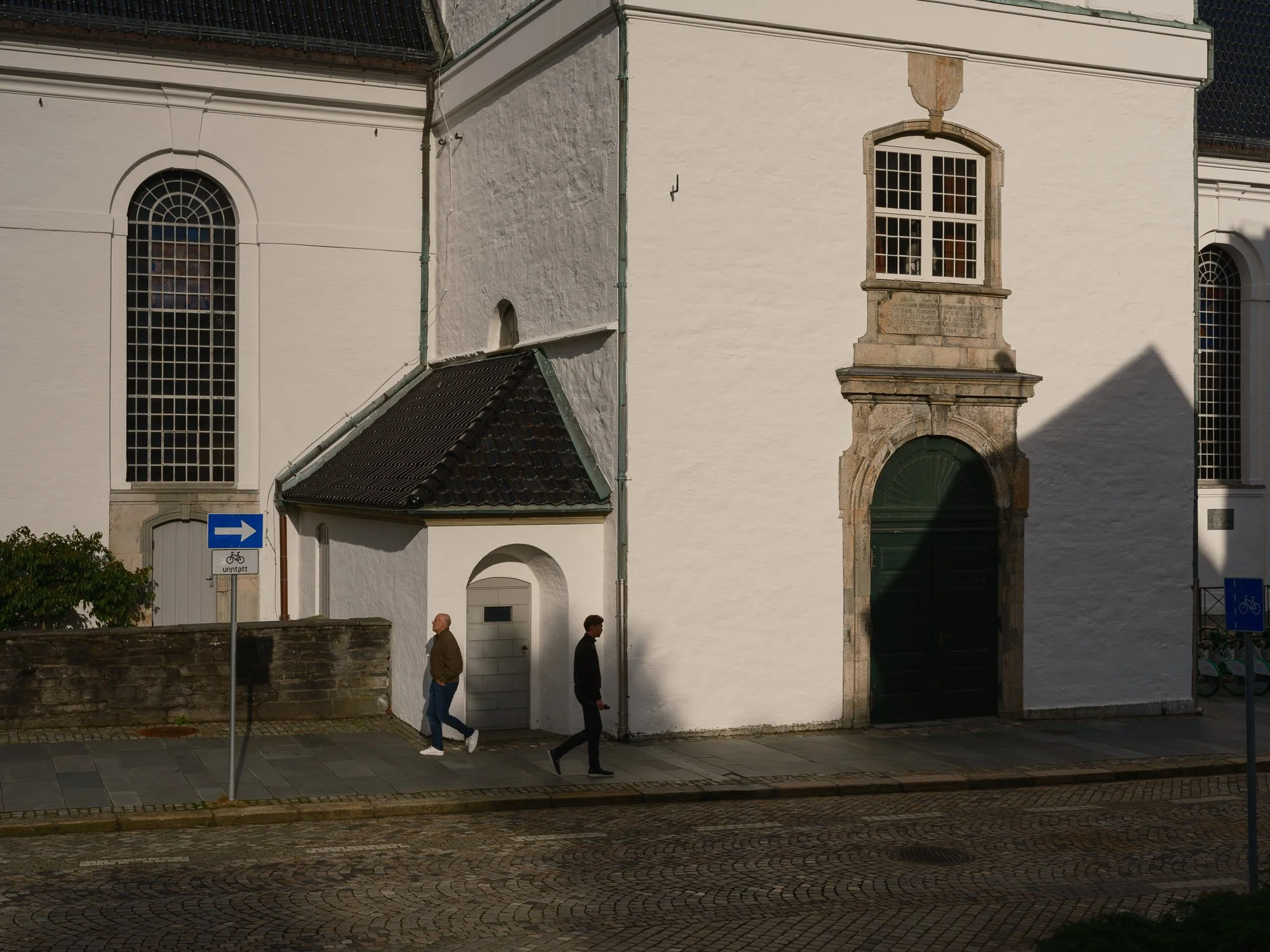
2026-09-28 - Nykirken.
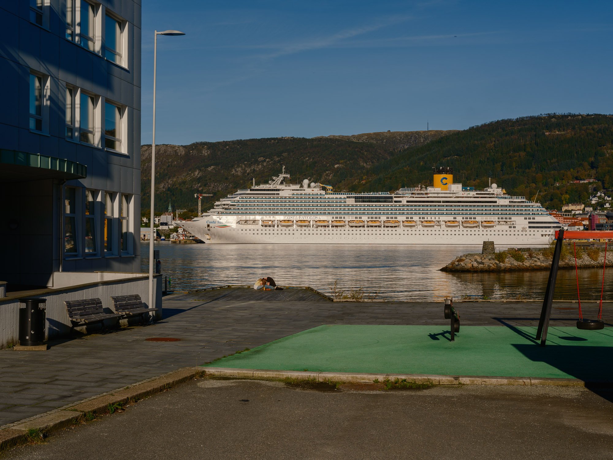
2026-09-29 - Damsgårdsallmenningen.
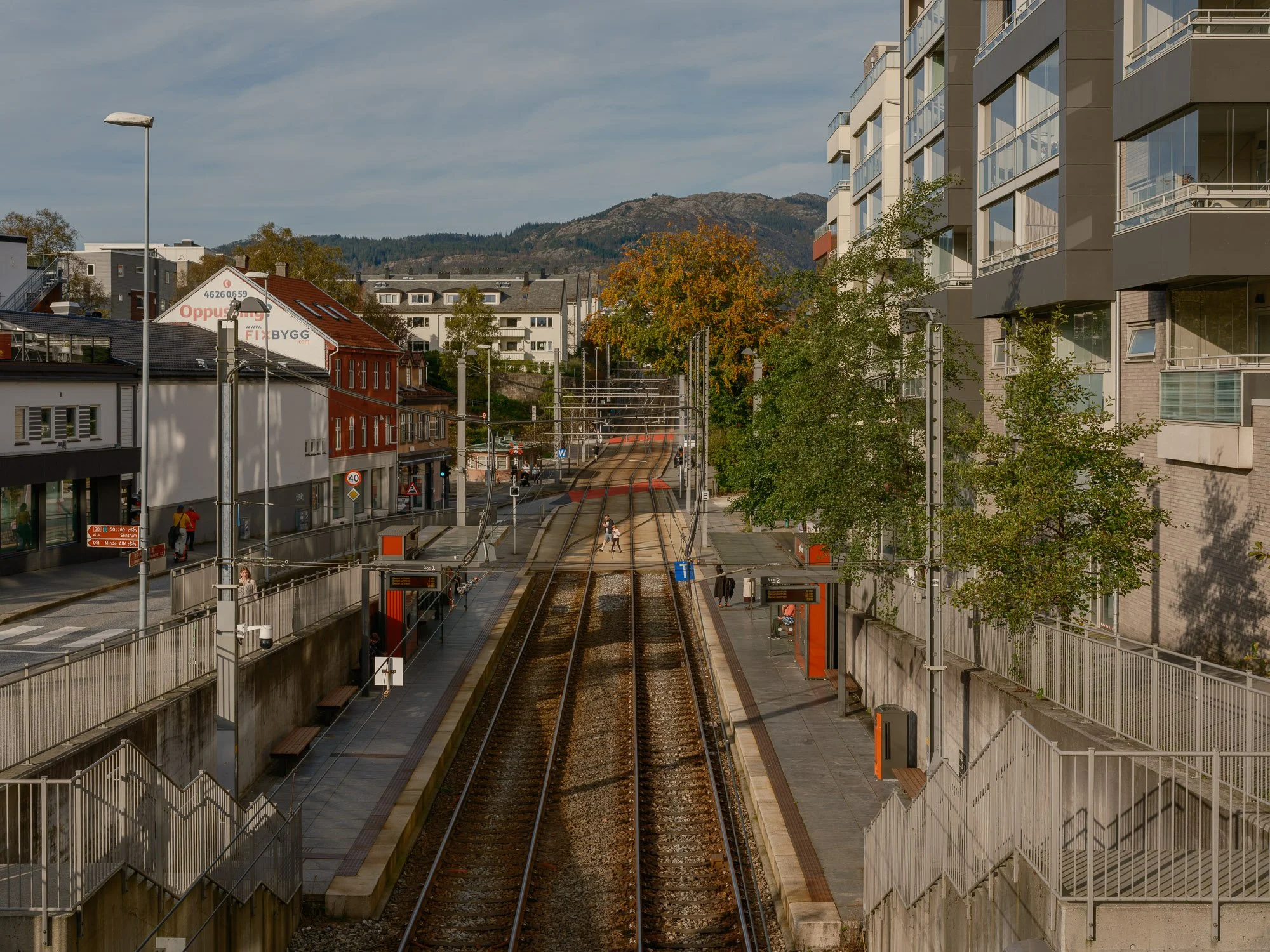
2026-09-30 - Wergeland light rail station.
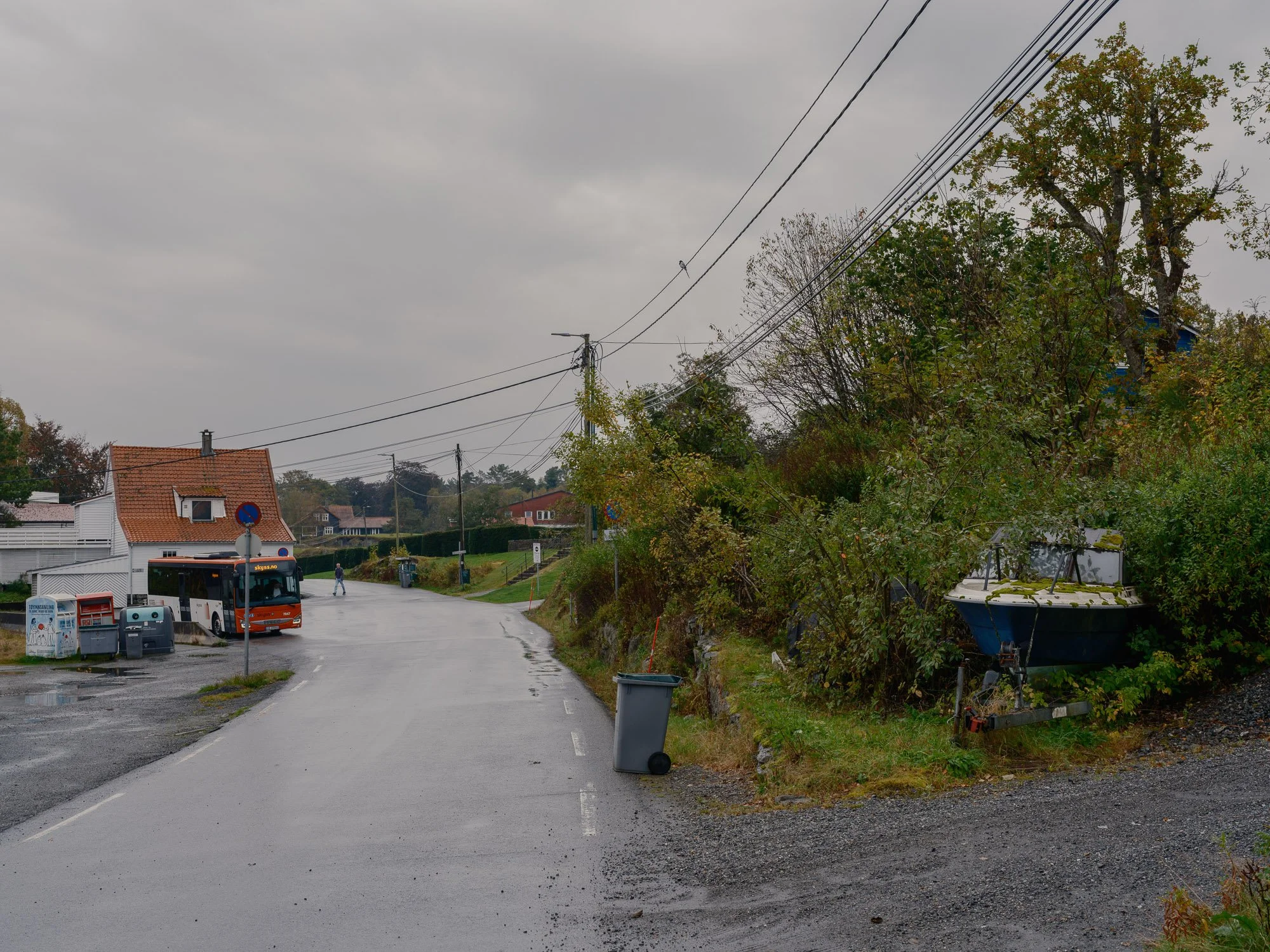
2026-10-01 - Mildevågen.
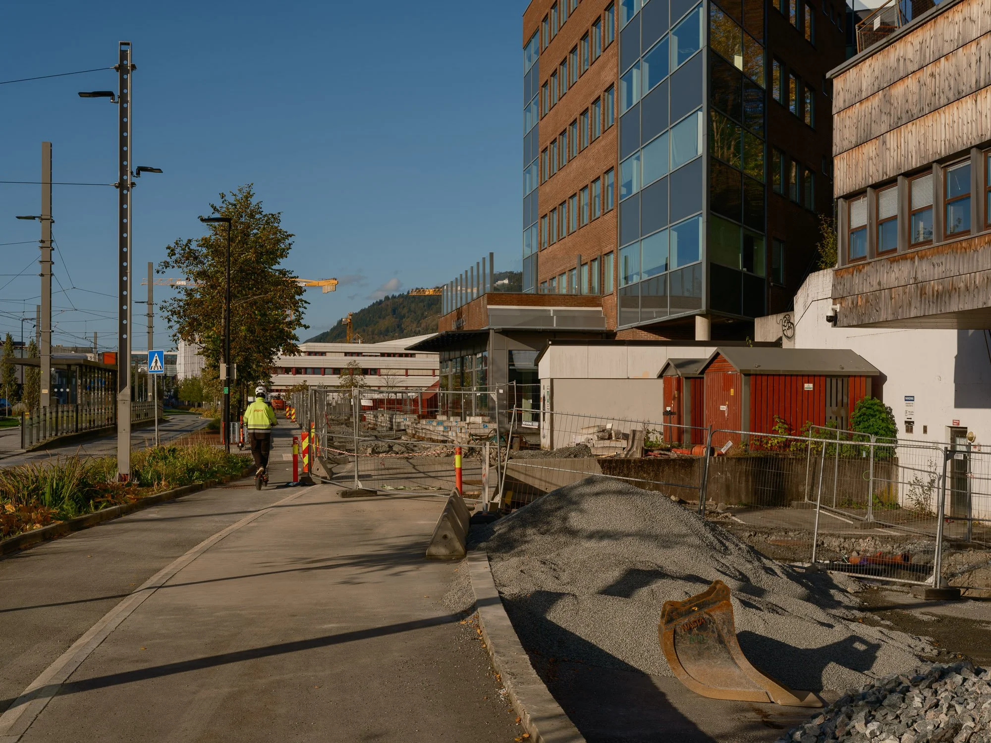
2026-10-02 - Mindemyren.
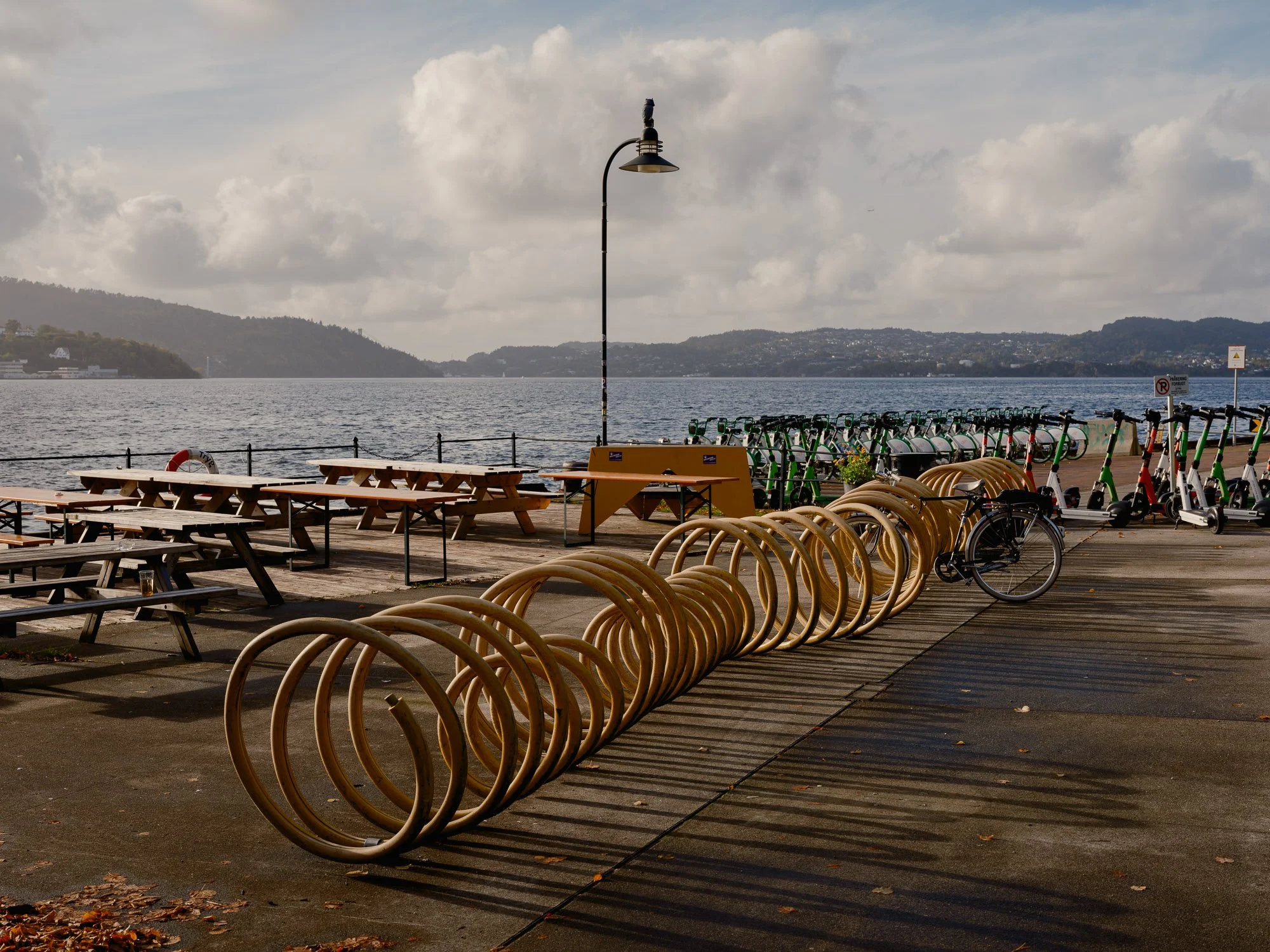
2026-10-03 - USF Verftet.
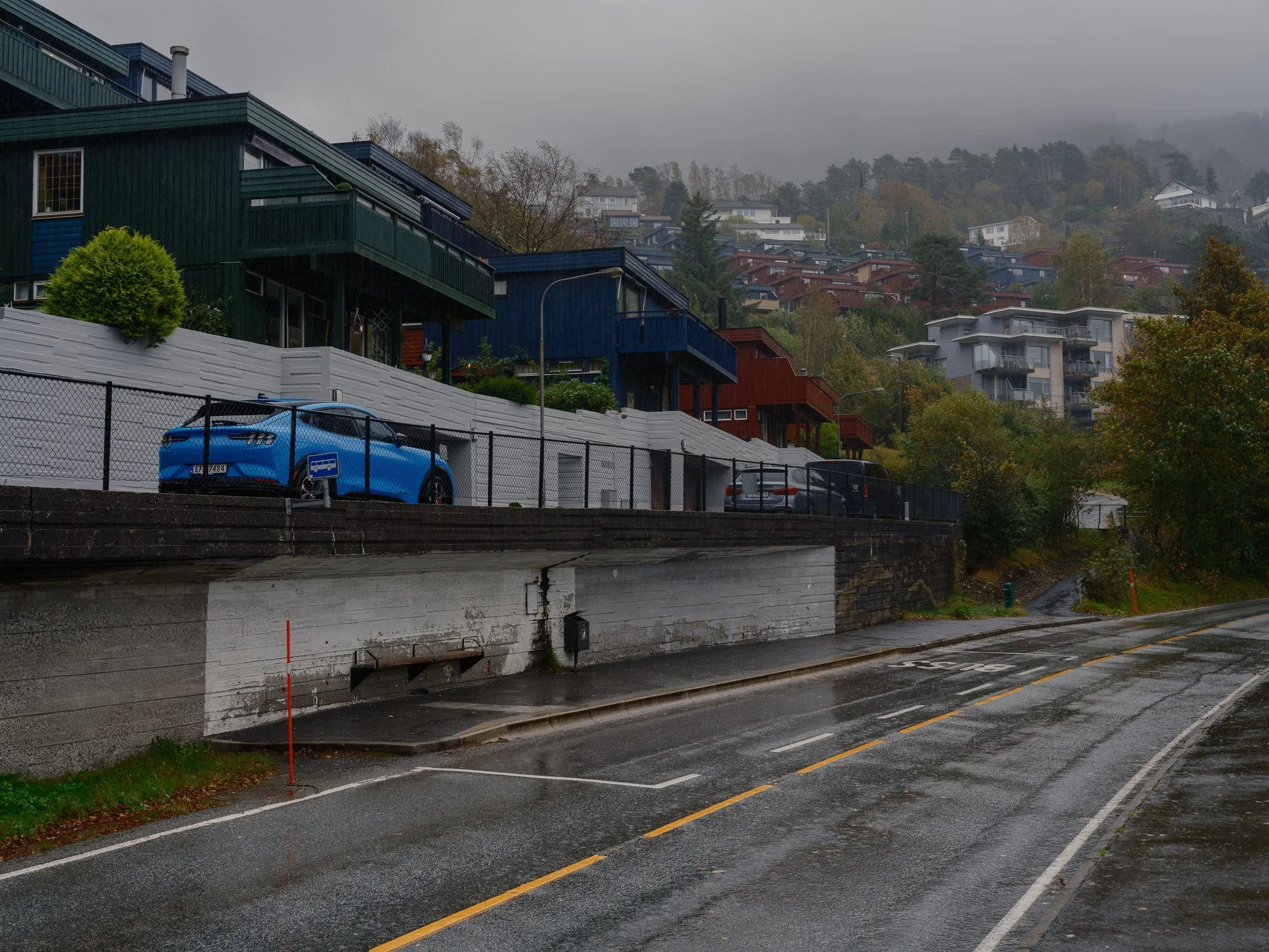
2026-10-04 - Bus stop in Dag Hammarskjolds vei.
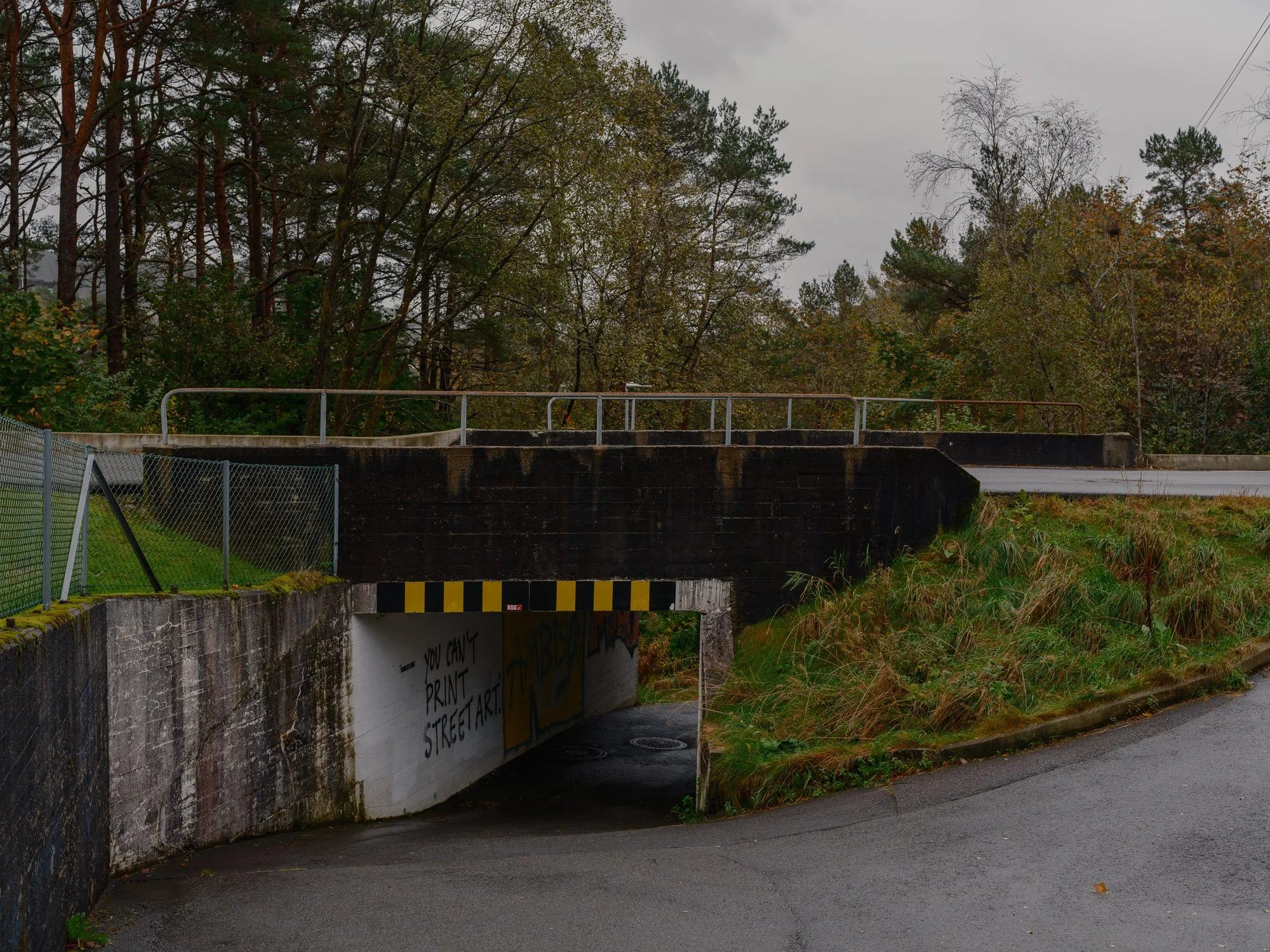
2026-10-05 - Hetlevikåsen.
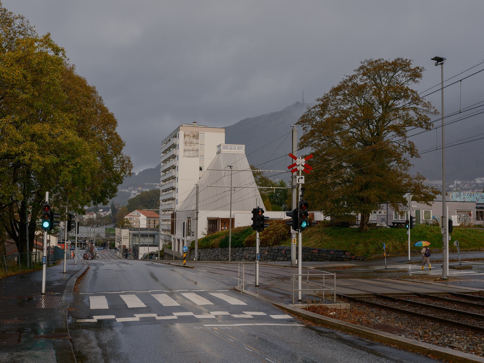
2026-10-06 - Slettebakken.
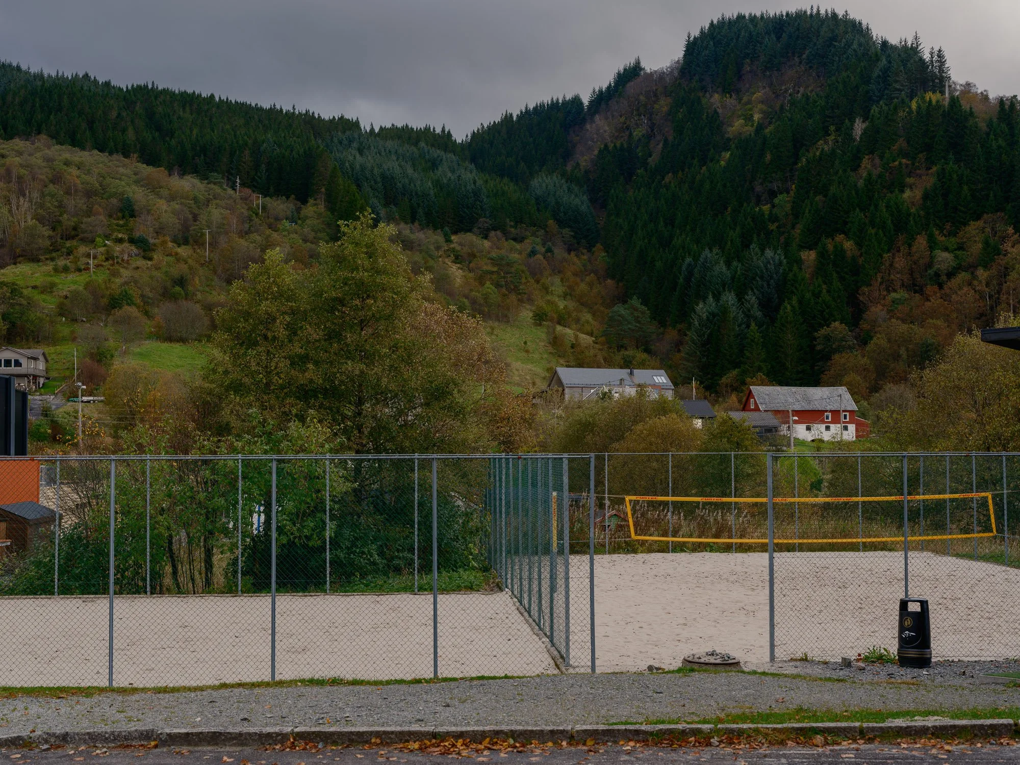
2026-10-07 - Kaland beach volleyball court.
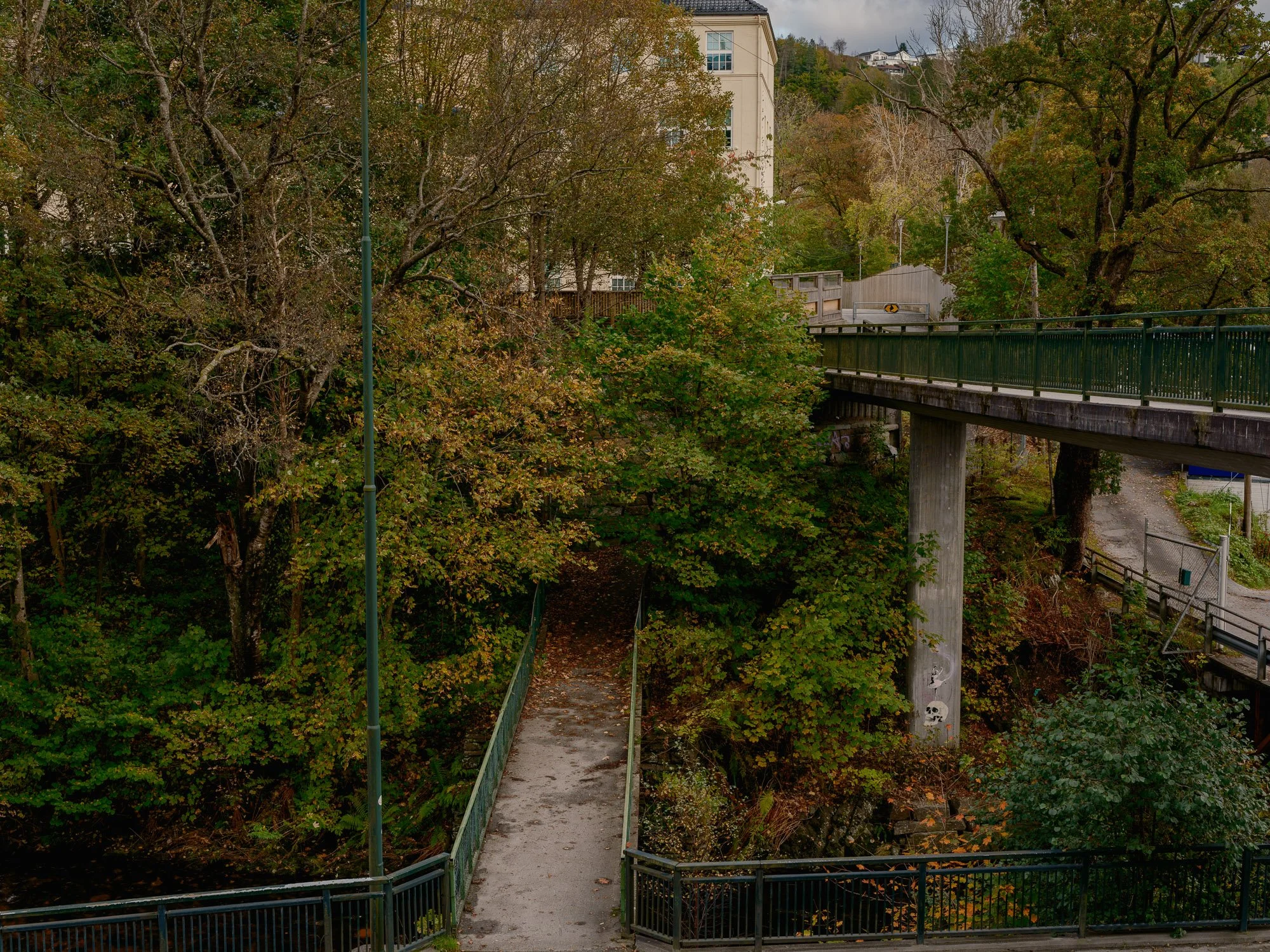
2026-10-08 - Midtun.
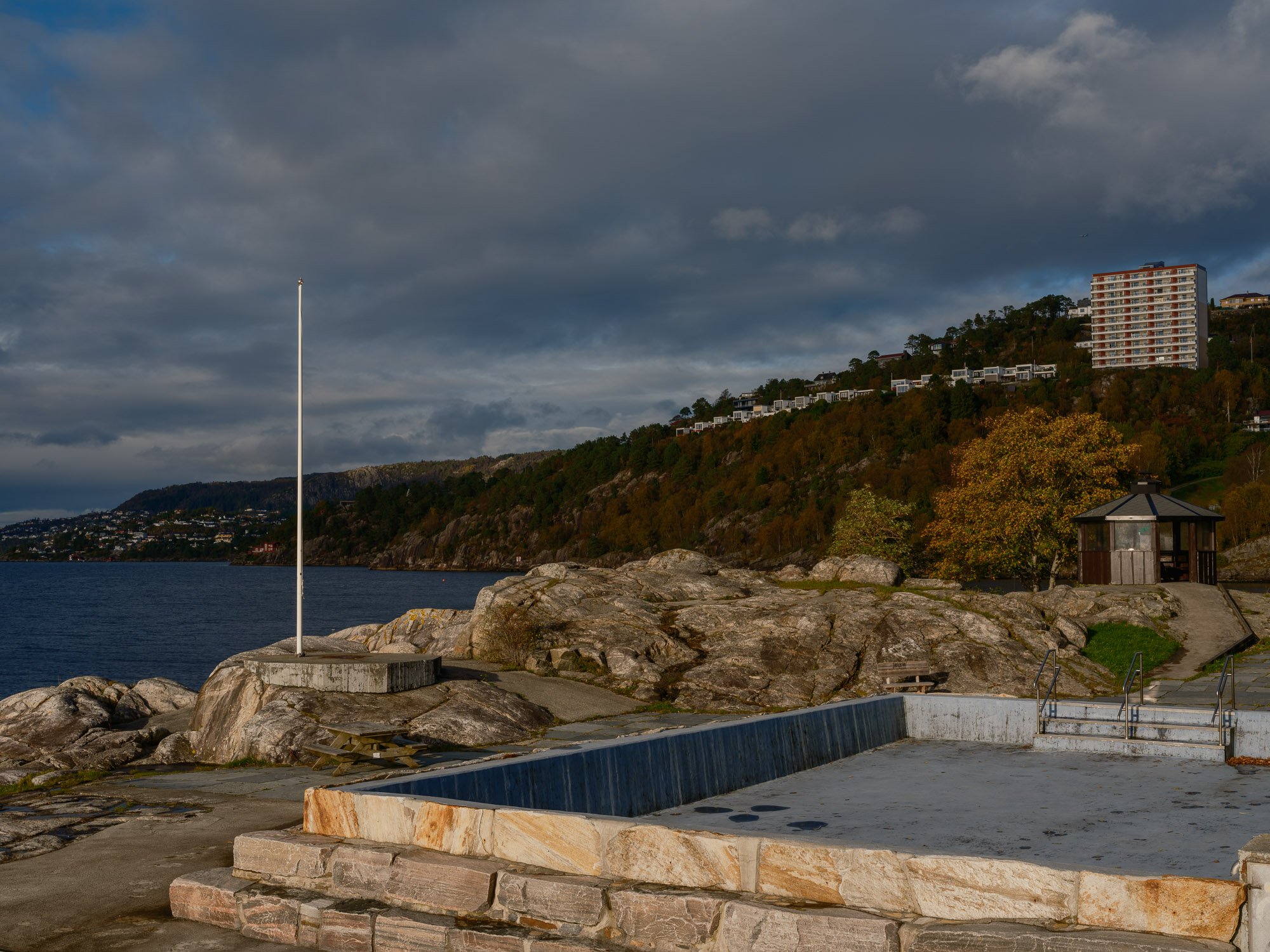
2026-10-10 - Helleneset.
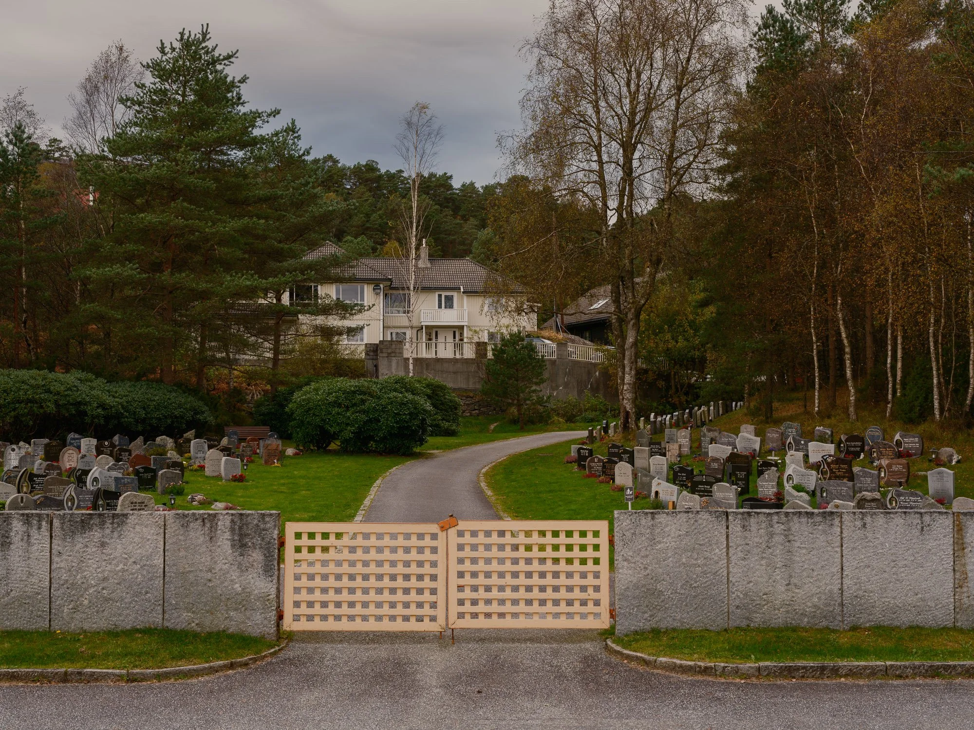
2026-10-11 - Bønes graveyard.
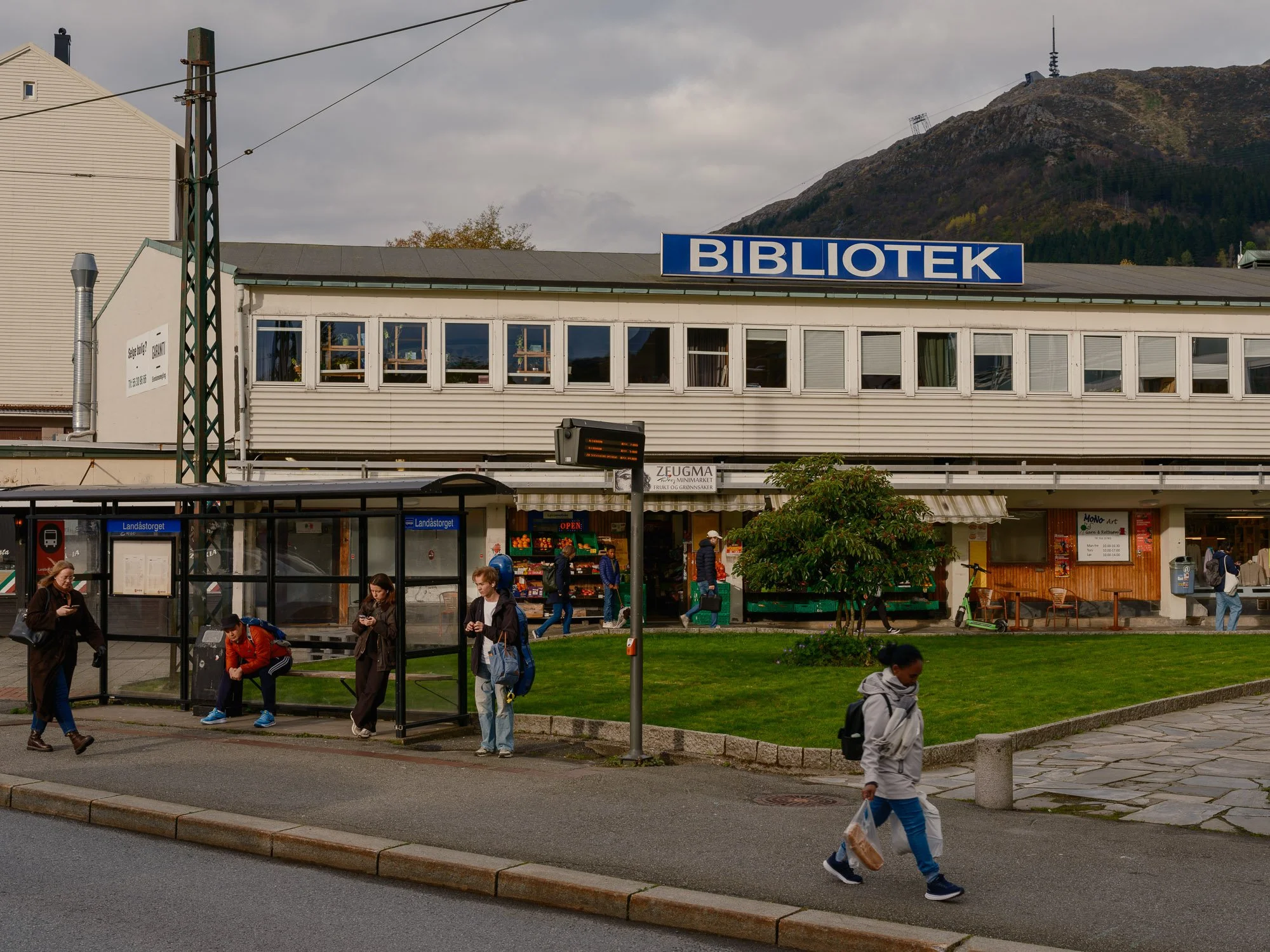
2026-10-12 - Nattlandsveien.
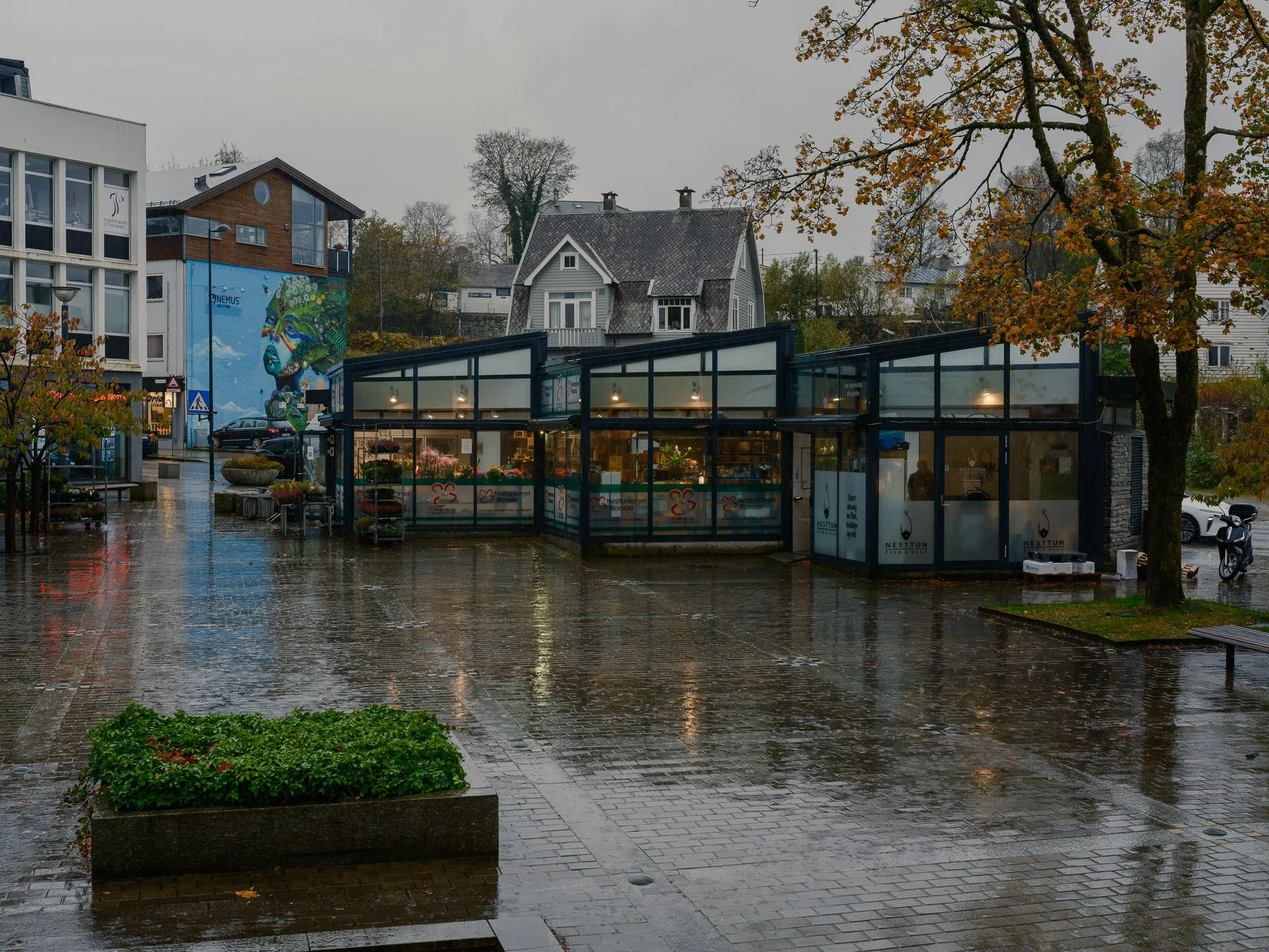
2026-10-13 - Nesttun square.
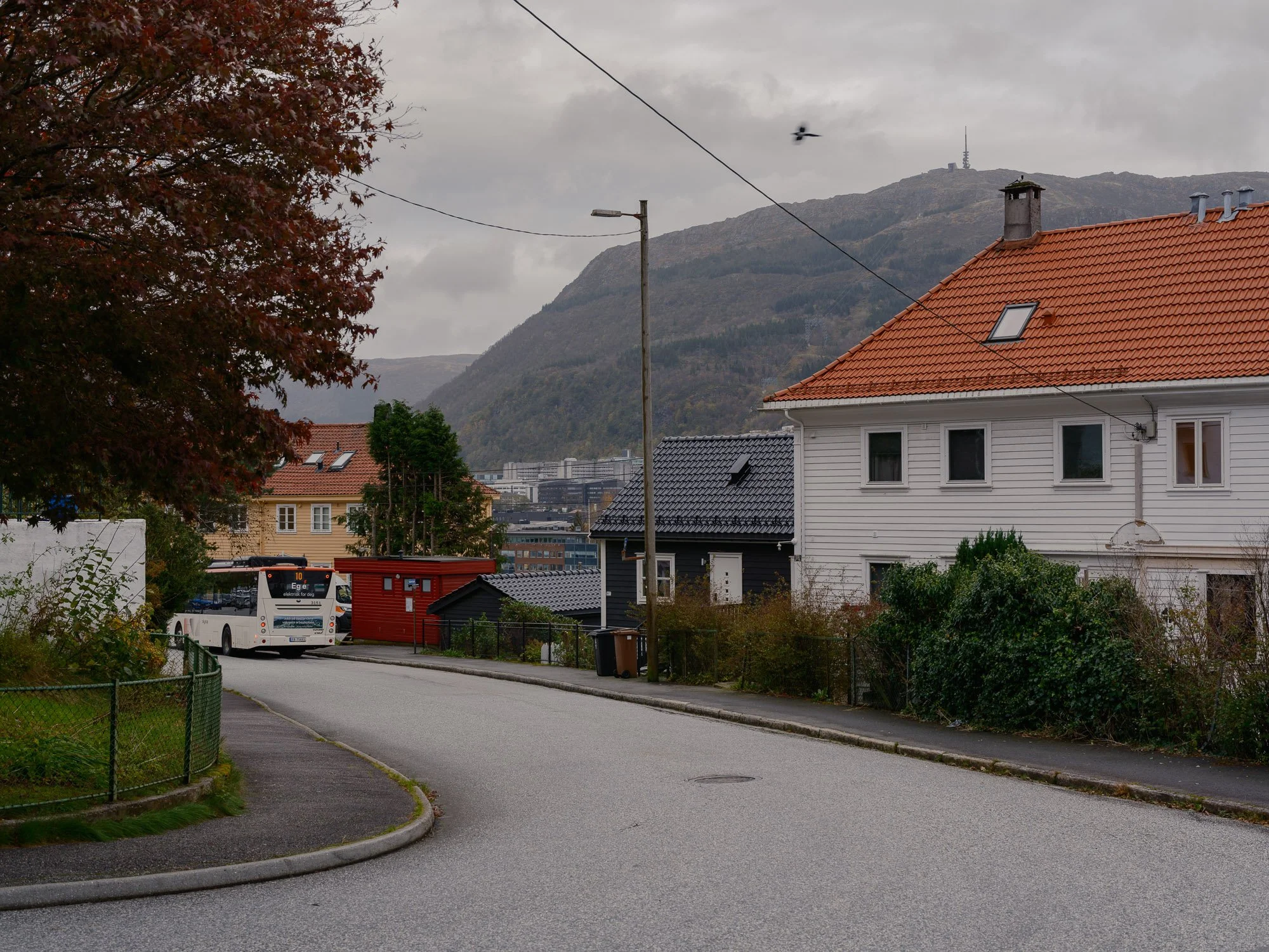
2026-10-14 - Mindeveien.
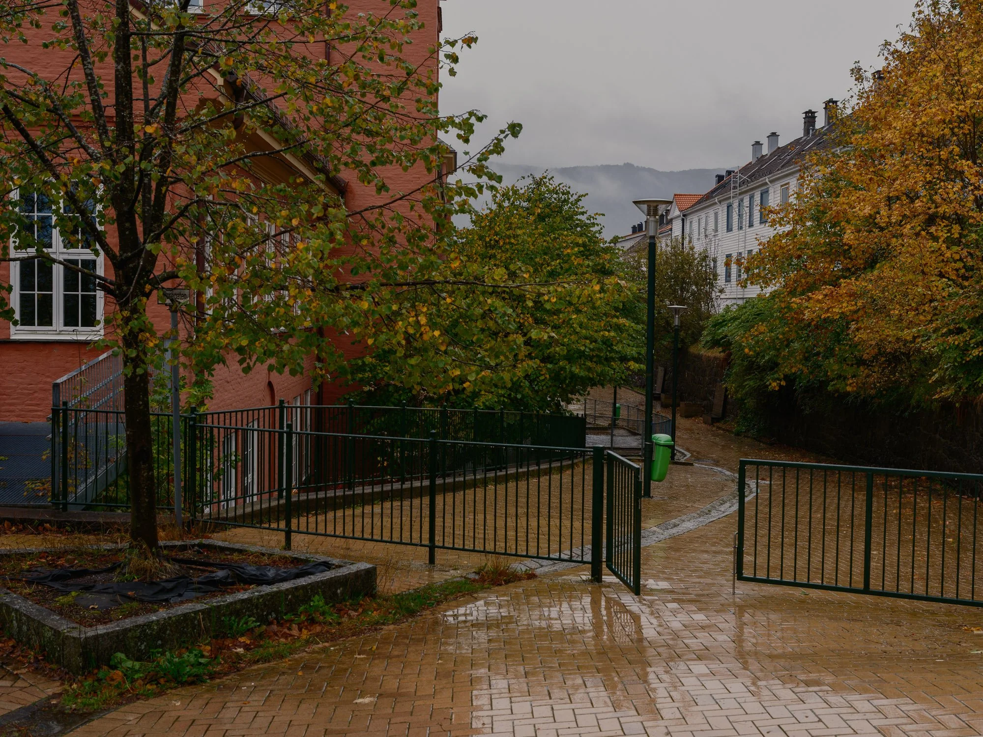
2026-10-15 - Møregaten.
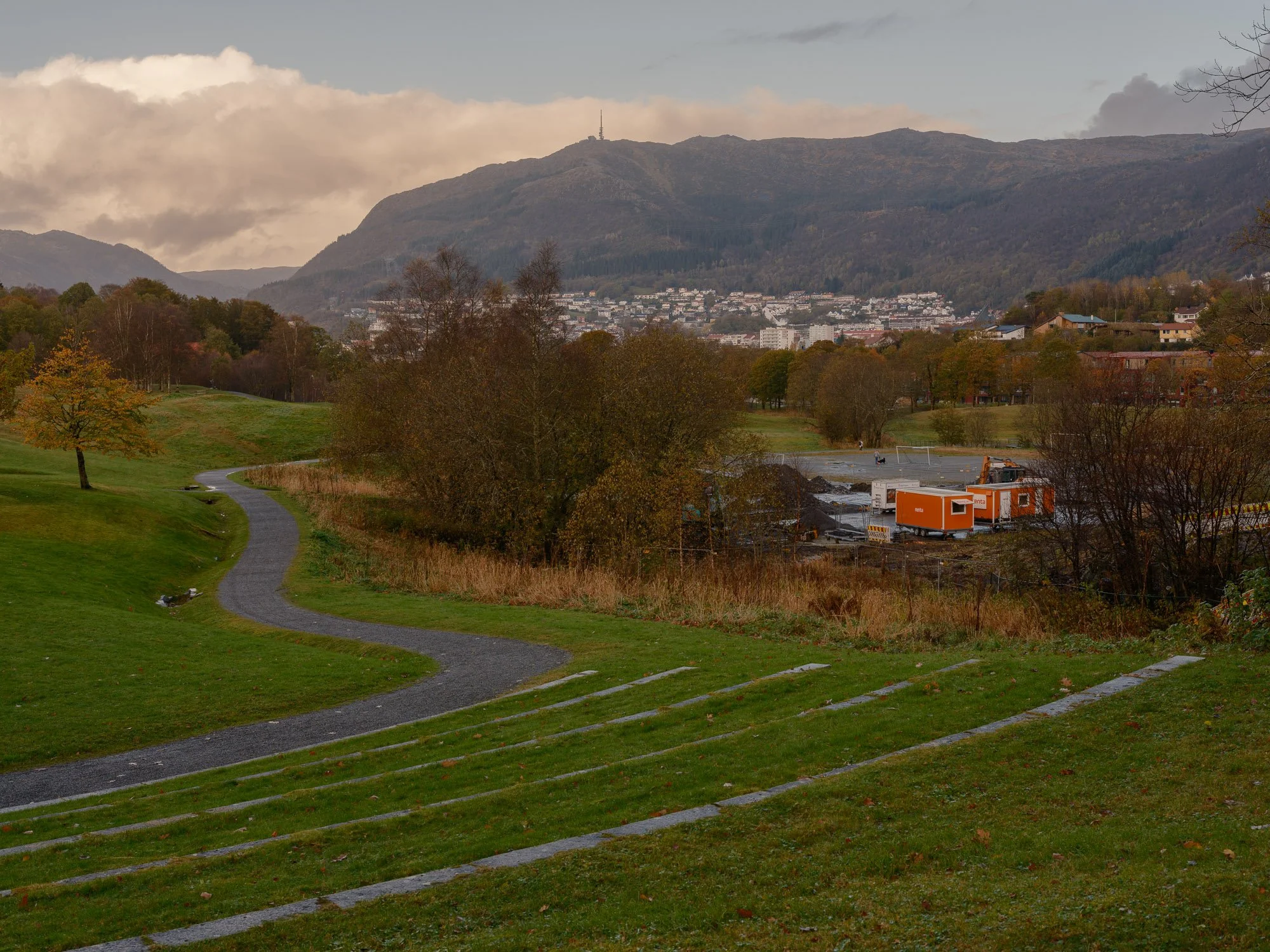
2026-10-16 - Storetveitmarken.
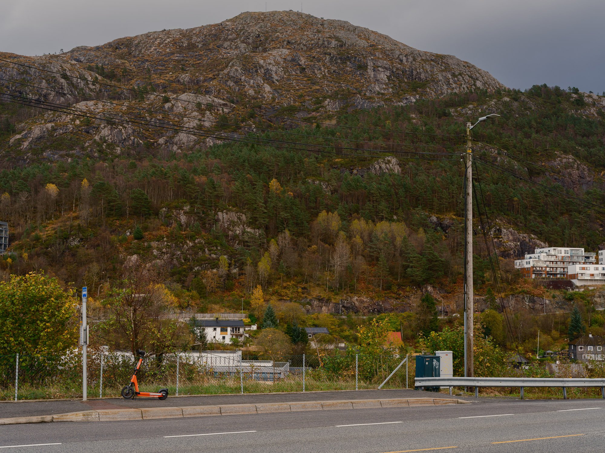
2026-10-17- Rishaugen.
Bergen at 16:17 is a long-term documentary photography project exploring what Bergen looks like during one specific minute of the day.
RULES
All photographs are made between 16:17:00 and 16:17:59.
An unlimited number of exposures may be made within that minute.
One photograph is selected afterwards.
All photographs are made outdoors.
All photographs are made in publicly accessible places.
THE LOCATION SELECTOR
When requested, the Location Selector assigns one specific public location within the municipality of Bergen.
The selection is made without regard to weather, light, season, events or the likelihood of finding an interesting subject.
Its purpose is not to optimize the photograph, but to maintain the integrity of the method.
The assigned location must be:
within the municipality of Bergen
outdoors
publicly accessible
legal to enter and remain in
specific enough to be identified without interpretation
Large areas, districts, long streets and private property are not used.
VARIATION
Over time, the Location Selector aims to create geographical and spatial variation across the municipality.
Previous assignments are taken into account in order to avoid unnecessary repetition of the same area or type of public space.
No type of location is considered photographically more valuable than another.
Bus stops, car parks, bridges, underpasses, industrial areas and pedestrian paths are as legitimate as parks, squares and quays.